Mount St. Helens
June 2005
 |
![]()
|
![]()
At 8:32 Sunday morning, May 18, 1980, Mount St. Helens erupted. Shaken by an earthquake measuring 5.1 on the
Richter scale, the north face of this tall symmetrical mountain collapsed in a massive rock debris avalanche.
Nearly 230 square miles of forest was blown over or left dead and standing. At the same time a mushroom-shaped
column of ash rose thousands of feet skyward and drifted downwind, turning day into night as dark, gray ash fell
over eastern Washington and beyond. Wet, cement-like slurries of rock and mud scoured all sides of the volcano.
Searing flows of pumice poured from the crater. The eruption lasted 9 hours, but Mount St. Helens and the surrounding
landscape were dramatically changed within moments.
In a few moments this slab of rock and ice slammed into Spirit Lake, crossed a ridge 1,300 feet high, and roared
sending a 12 foot wall of water 14 miles down the Toutle River knocking out bridges, roads and houses. A vast,
gray landscape lay where once the forested slopes of Mount St. Helens grew. In 1982 the President and Congress
created the 110,000-acre National Volcanic Monument for research, recreation, and education. Inside the Monument,
the environment is left to respond naturally to the disturbance.
The volcano continued to erupt until 1986, violently at first, then quietly building a lava dome. Thick pasty
lava eruptions oozed out, each one piling on top of the next, like pancakes in a sloppy pile.
![]()
To view any picture on a larger scale just click on it.
Then click your browsers back button to return.
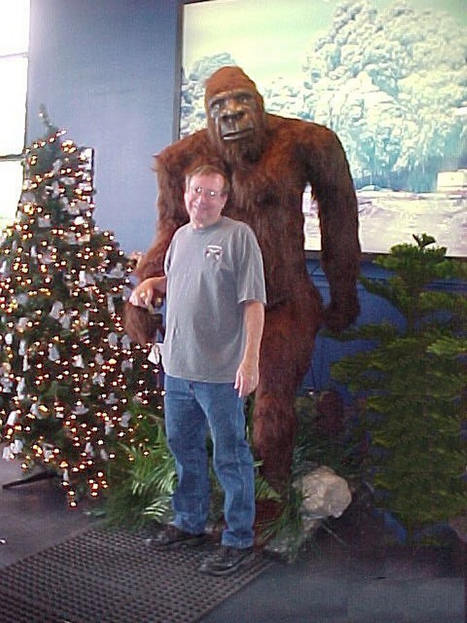 Sasquatch (Bigfoot), this great, ape-like beast has existed in the stories and legends of the native tribes of the Pacific Northwest for thousands of years. We found him and he let David have his picture taken with him. |
 'Sightings'of Sasquatch have been especially common in the Mount St. Helens region of Southwestern Washington. He also let Nancy have her picture taken with him. |
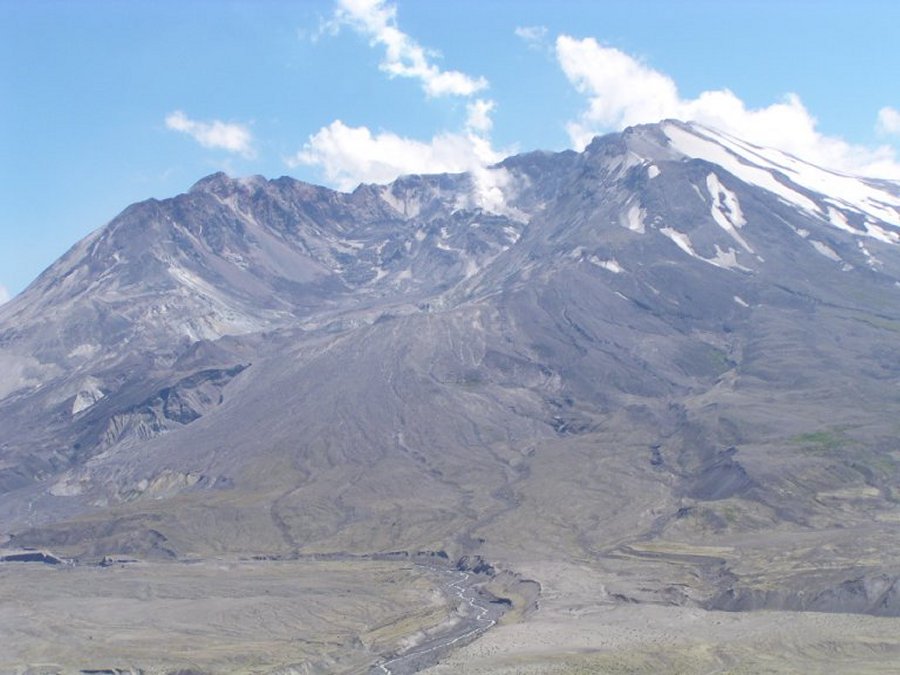
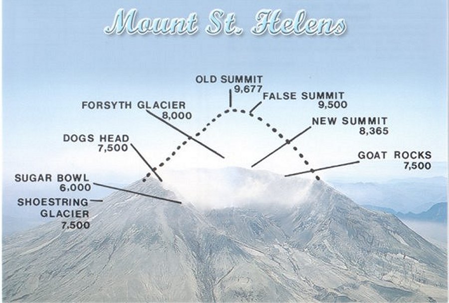 A northeast view of the volcano. The profile shows the location of the former summit and today's rebuilding dome. the eruption blew over 1,300 feet of the volcano's cone, leaving a creater 1 mile wide 2 miles long and 2,200 feet deep. |
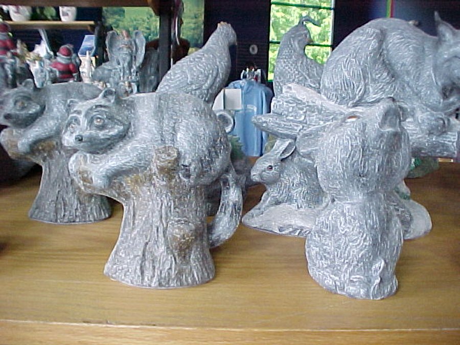 These Deco-ash creatures were made of Mount St. Helens ash. |
 Aren't they cute. |
 The ash is mostly silicone and is a lot like working with sand. |
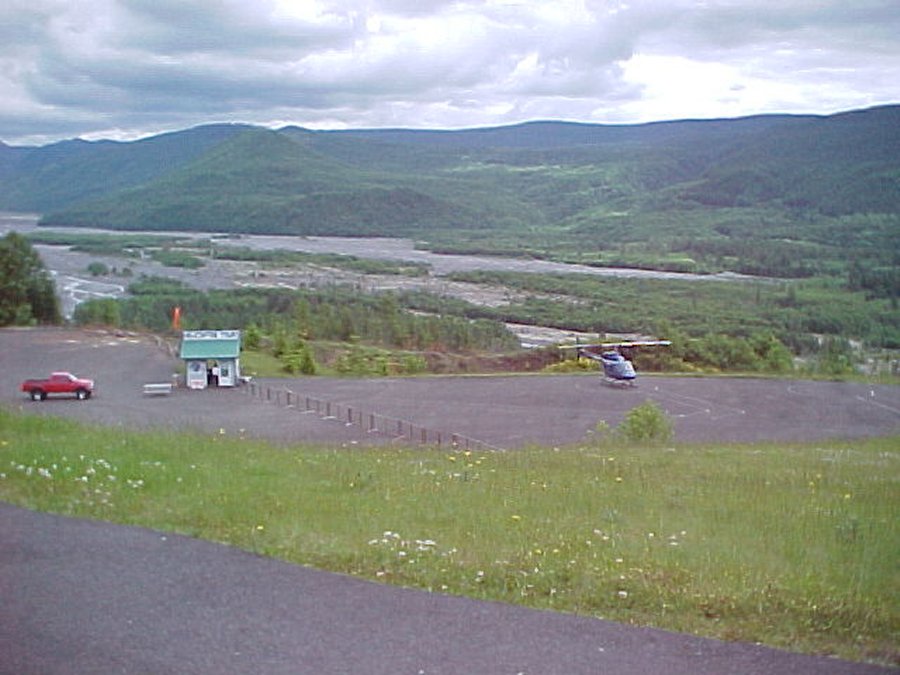 You can take a 30 minute helicopter ride for $122.00 per person. |
 This glass blower has Mount St. Helens ash in his glass ware. |
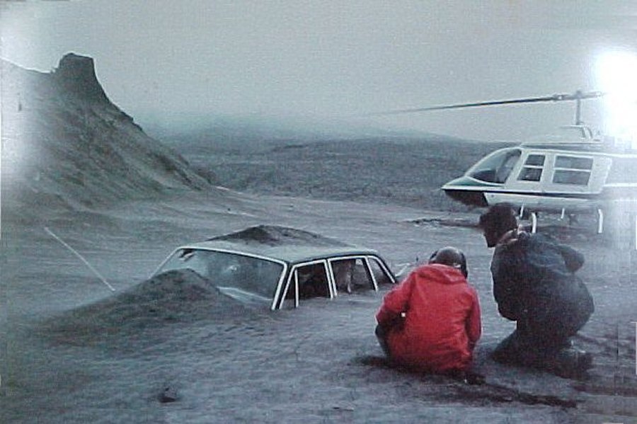 This guys insurance company said "Your car is buried in what?" |
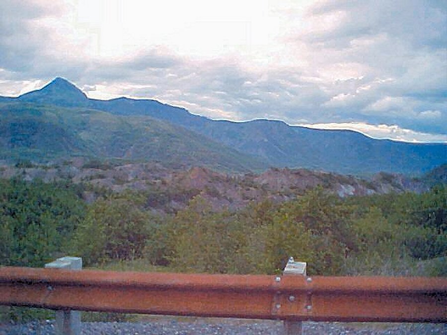
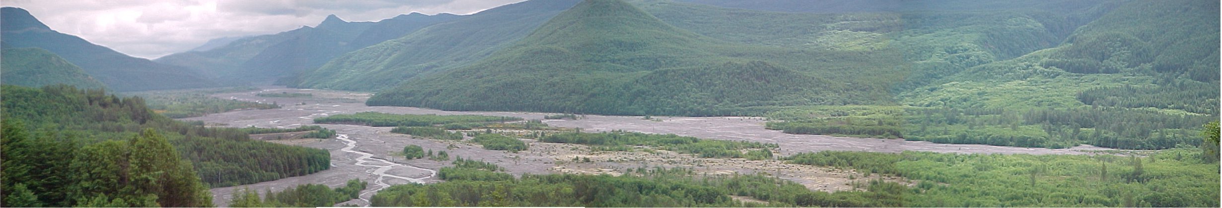 This is the Toutle River valley the mud flow and ash came down. Mount St. Helens is hiding behind those clouds. |
||
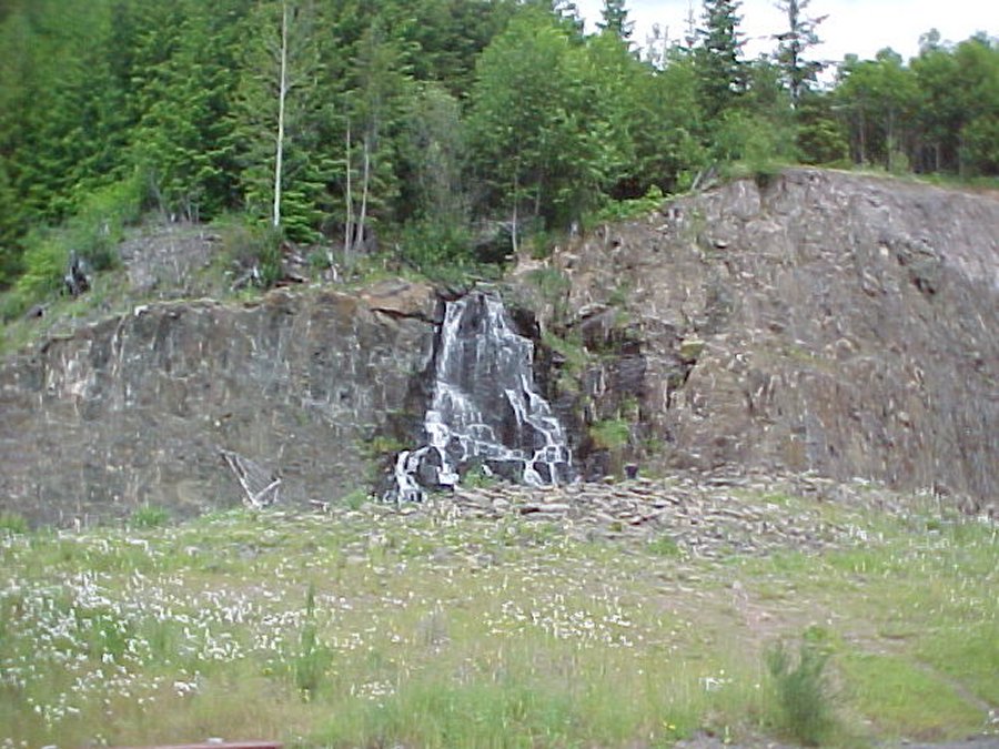 One of many pretty waterfalls. |
 The blast was equal to 127 atomic bombs. |
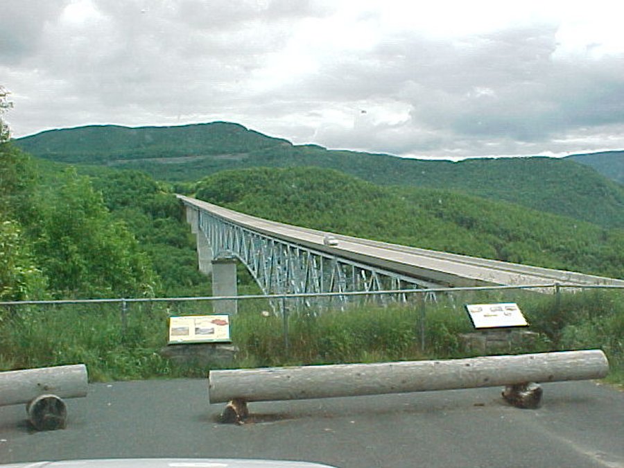 This is the Hoffstadt Bluffs bridge. |
 Before the eruption this was Coldwater Creek, now it is Coldwater Lake, 206 feet deep. The eruption created 150 lakes. |
||
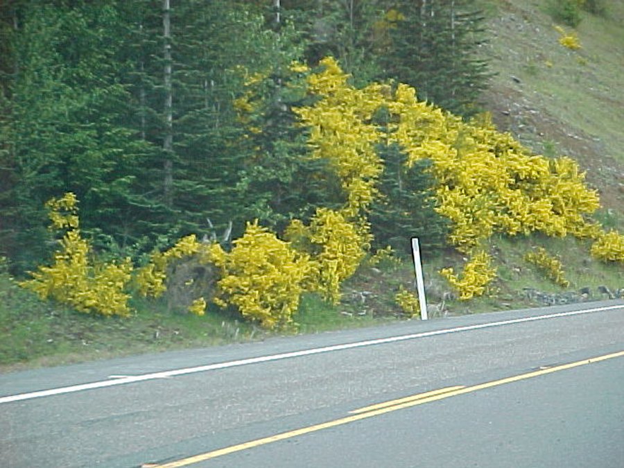 I think Scotch Bloom must be Washington's state flower. Ha ha. |
 These are hummels. Huge chunks of the mountain that ended up in the Valley. |
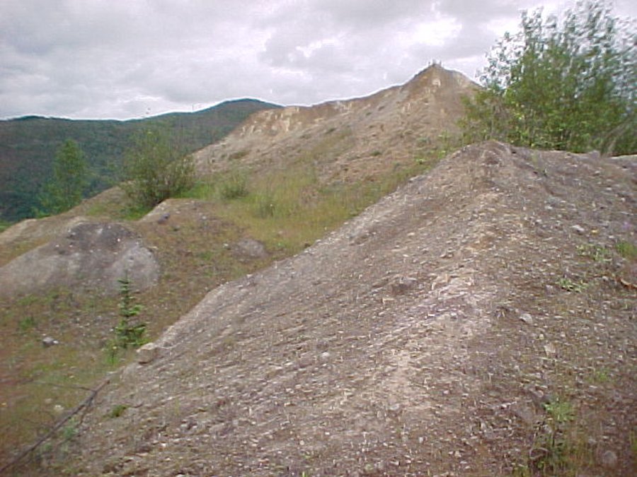 One geologist measured all the hummels and like a puzzle and rebuilt the mountain. |
 I am zooming the camera to get a closer shot. |
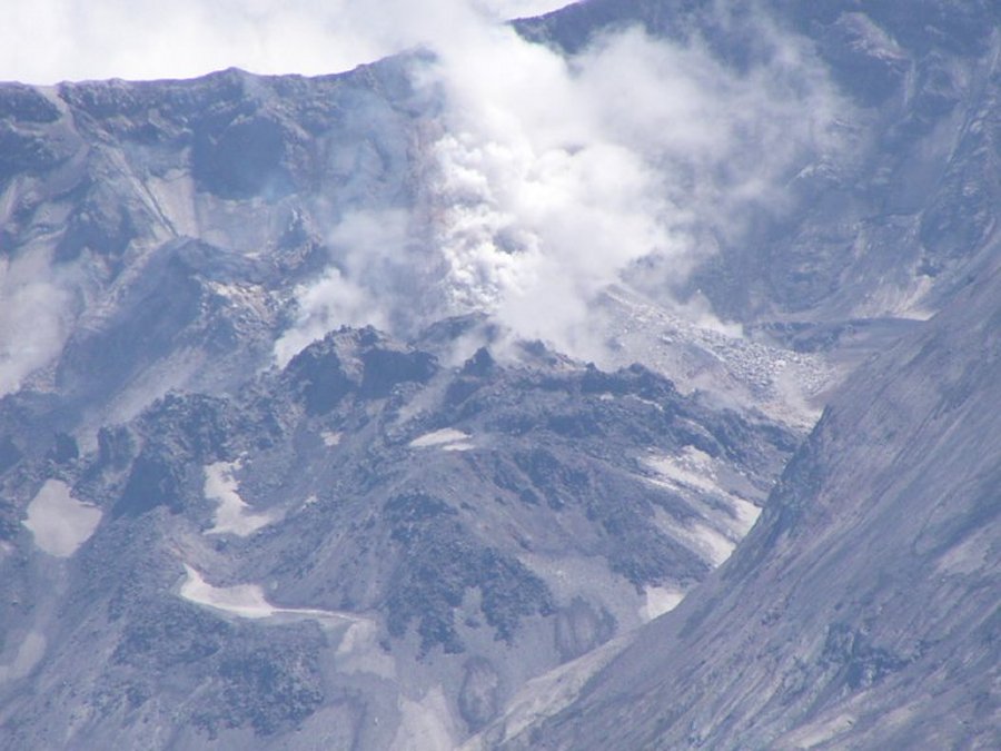 I zoom up to the dome, notice the steam coming out of it. |
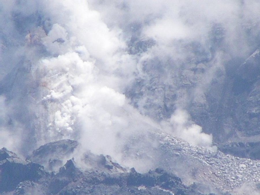 This awesome shot of the dome steaming is zoomed in all the way. |
 Here is the New Spirit Lake. |
 This shot is from Spirit Lake to the volcano. Those canyons in the valley are more than 50 foot high ash canyons. |
|
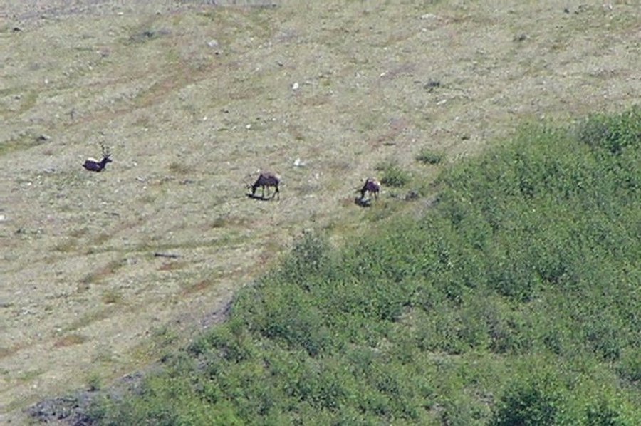 There are elk grazing on the valley floorabout a mile below us. |
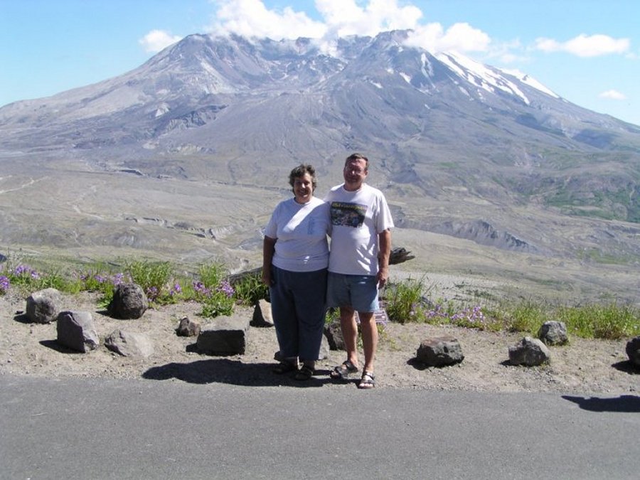 This proves we really were here, now lets get out of here before it blows again. |
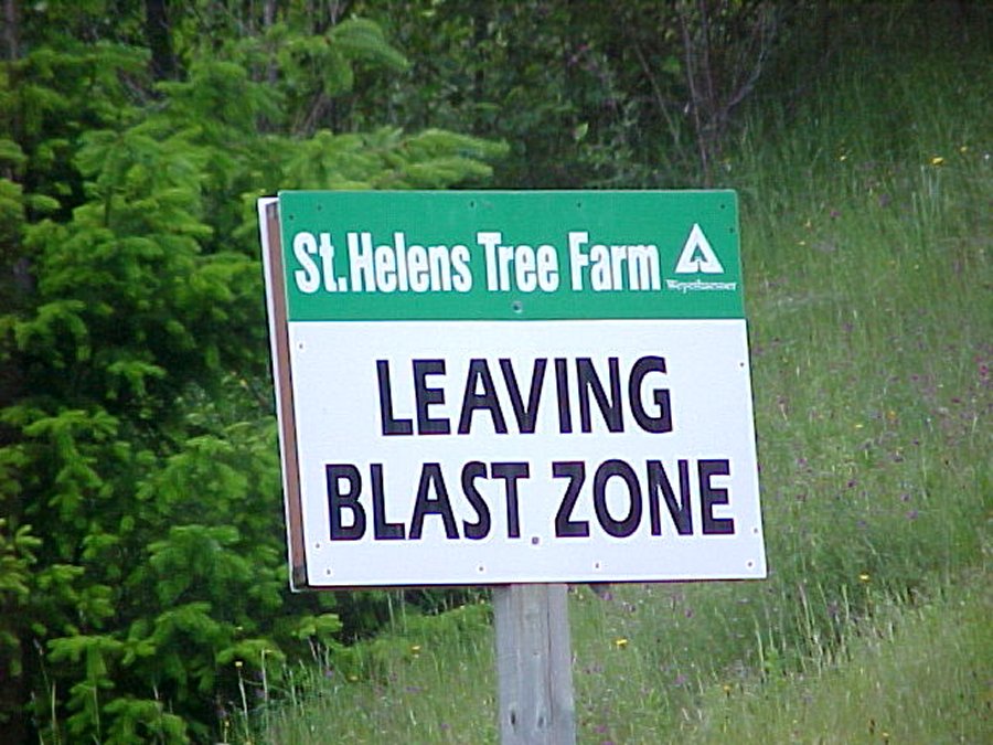 We are now leaving the blast zone. |