The Great Sand Dunes
September 2004
 |
 |
![]()
|
|
![]()
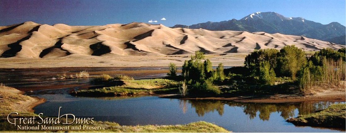
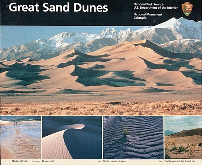
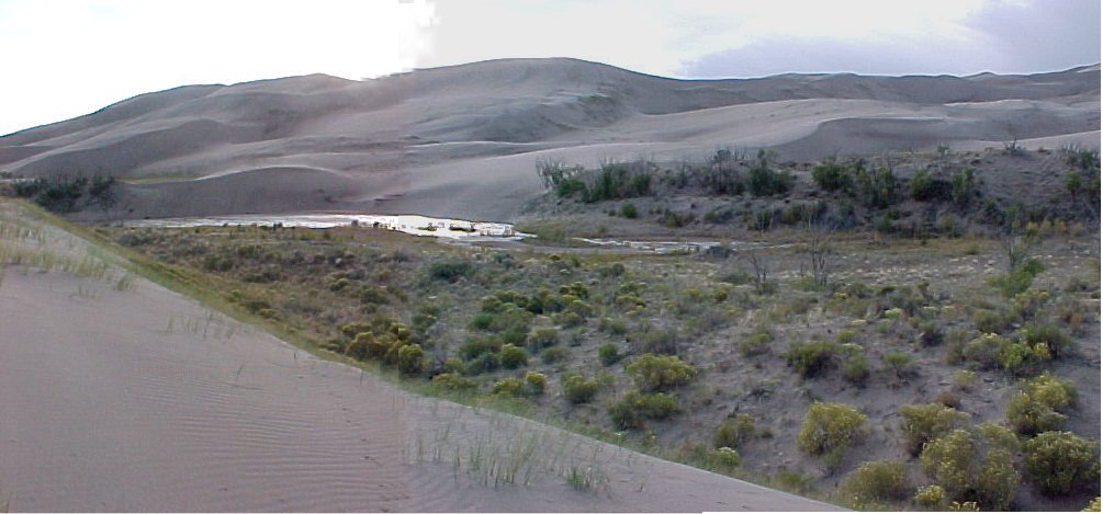
The tallest sand dunes in North America, rise in a corner of the high altitude San Luis Valley in the Colorado Rockies. These dunes have built to highs of 750 feet from billions of grains of sand blown across the valley be wind. The dunes cover about 30 square miles. Medano and Sand creeks, flowing out of the mountains, provide a further barrier to movement of the dunefield by carrying huge quantities of sand back to the valley floor, where it is eventually recycled back into the dunes by the wind. Mountain lions, elk, deer, and black bears also have been seen in the dunes.
![]()
To view any picture on a larger scale just click on it.
Then click your browsers back button to return.
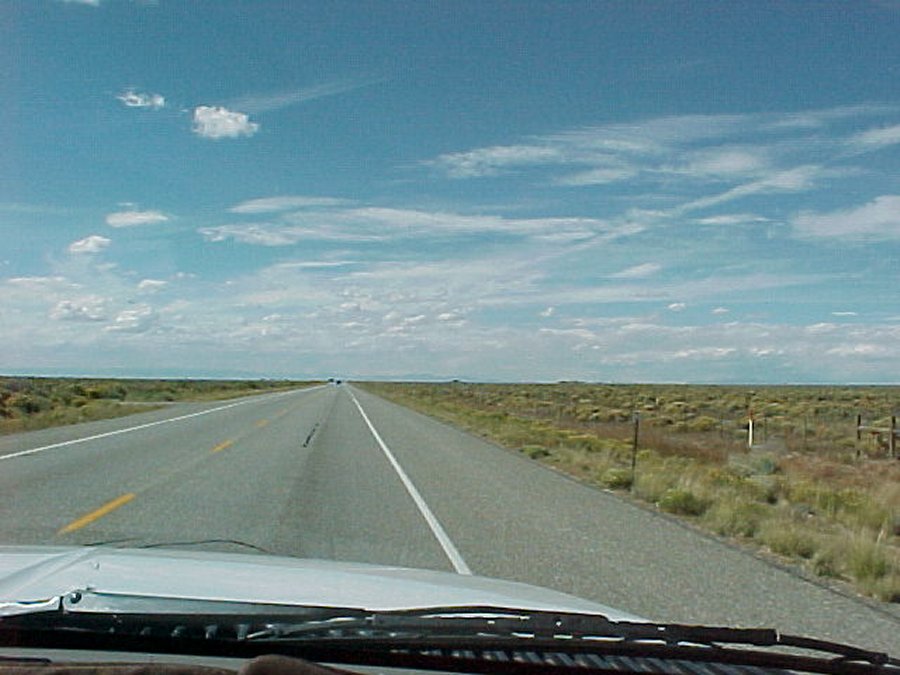 A few miles past Fort Garland we head east 20 miles on Hwy. 150 to the Great Sand Dunes. |
 Speed limit is 55 on this congested road. I guess we are on the right road! |
 We get here and find the dunes are 4 miles past the pay station. |
 We reach the Great Sand Dunes visitor center. |
 We head toward the campground and stop to take pictures of a heard of deer. |
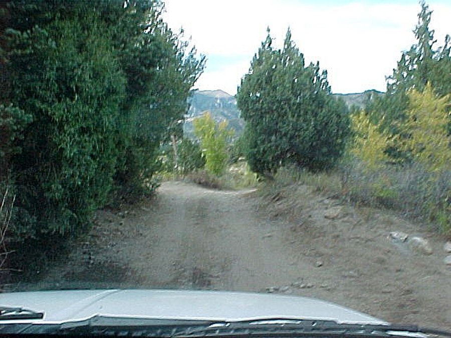 We head down the two wheel road to "The point of no return". |
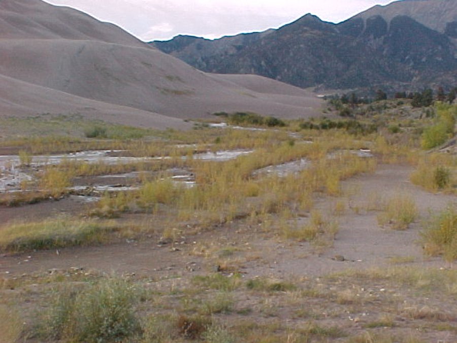
 I was going to head back to the parking lot when I saw the Medano stream past the dune. I decided I would hike down to the stream then walk up the stream until I found the trail, and hike the trail back. |
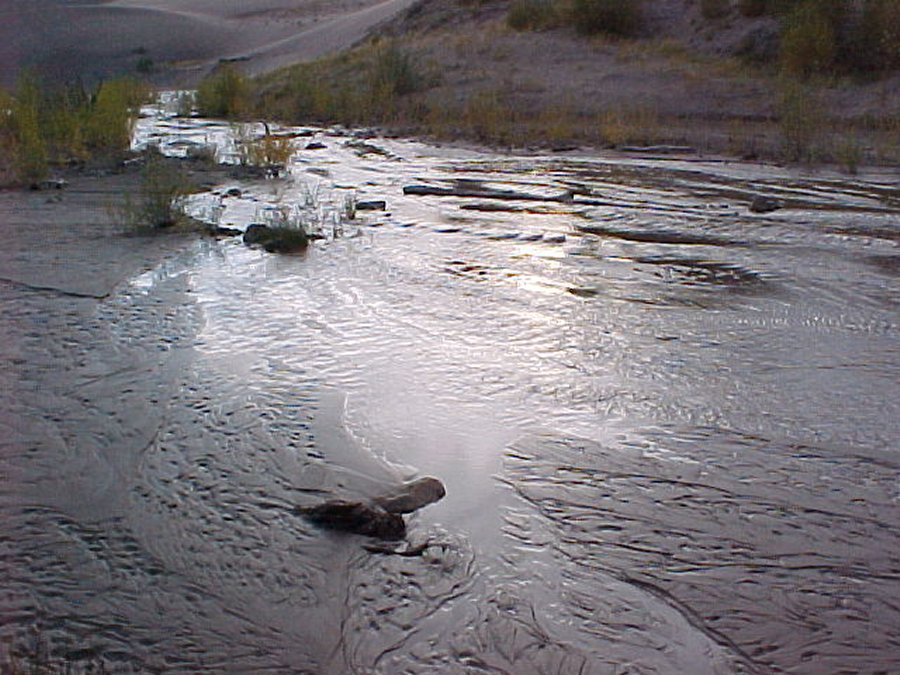 I get to Medano stream. |
|
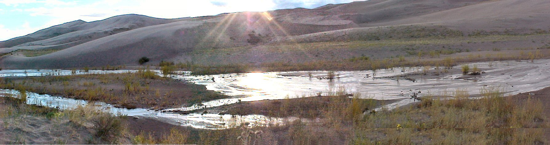 I tried to catch the river going past the sand dunes. This river eventually disappears under the sand dunes. |
||
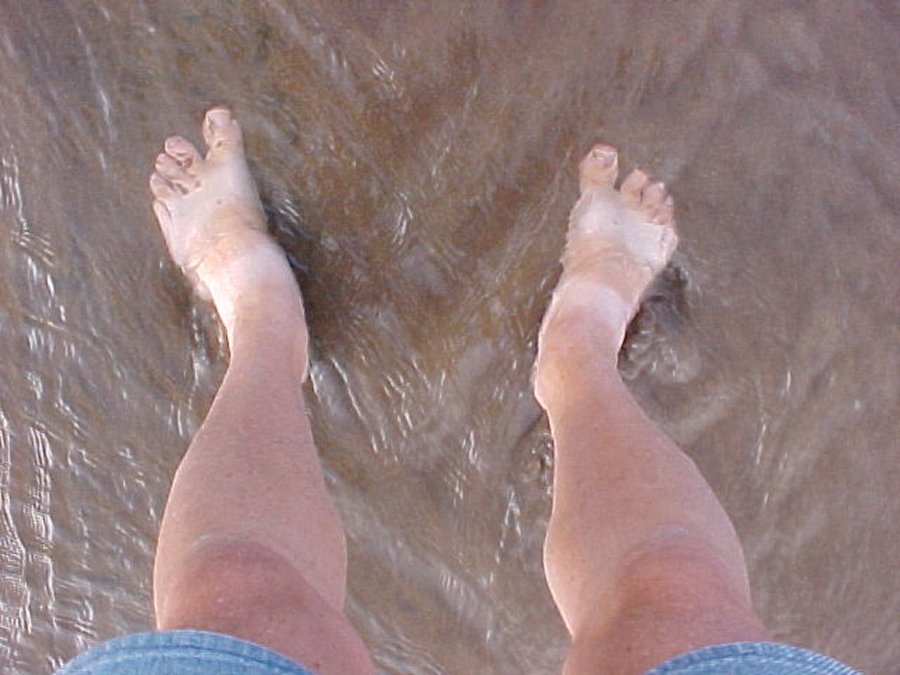 To prove I was here I took a picture of myself in the stream. |
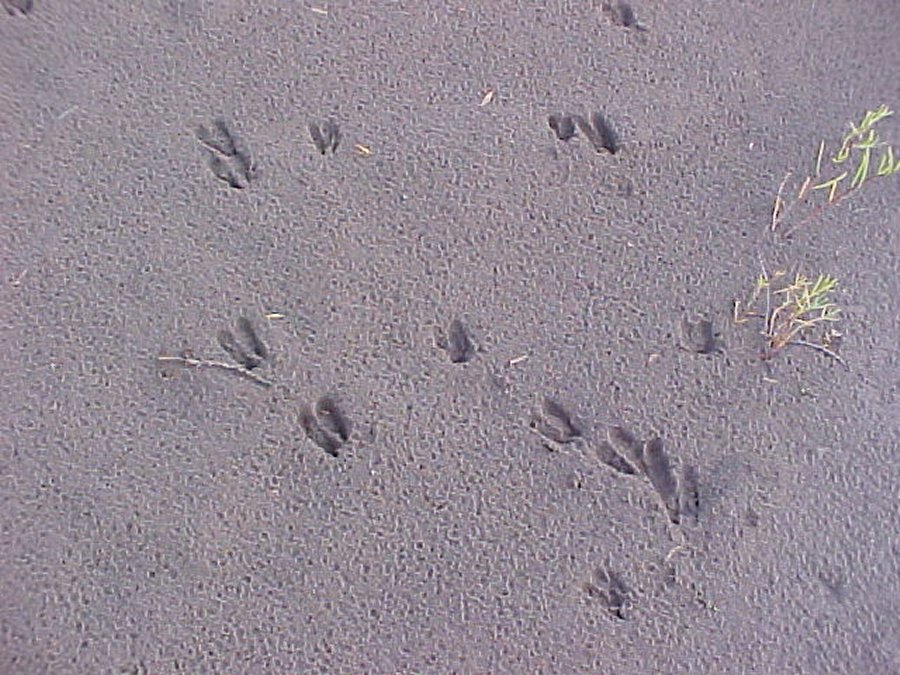 Here are some deer tracks next to the stream. |
 One last shot up stream and I head back on the trail. |
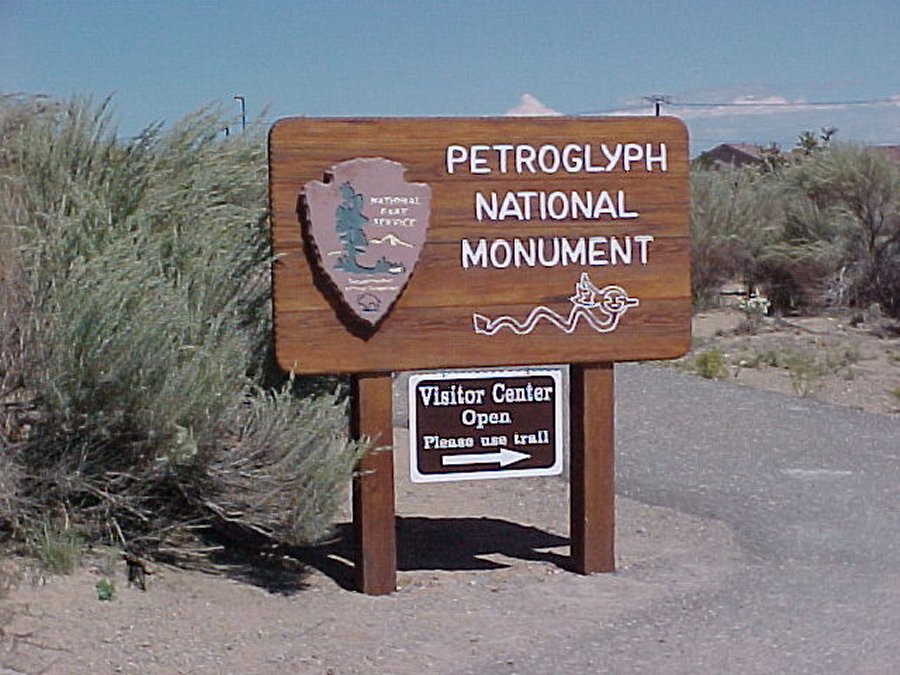
 Petroglyph National Monument Albuquerque, New Mexico. |
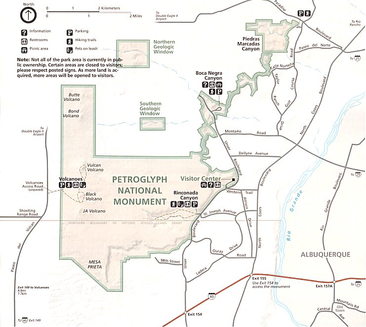 We took the boca Negra Canyon trail. |
![]()
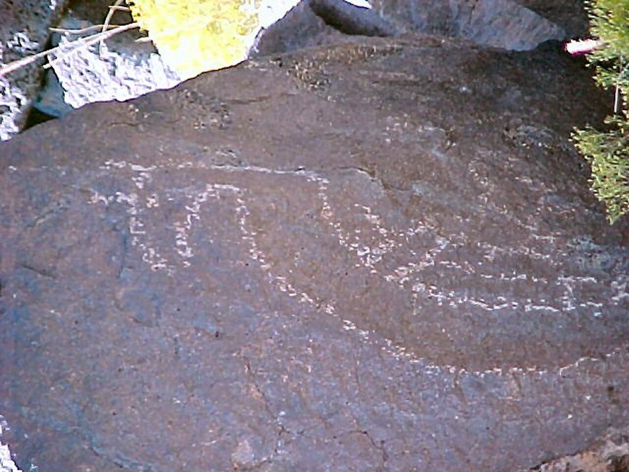
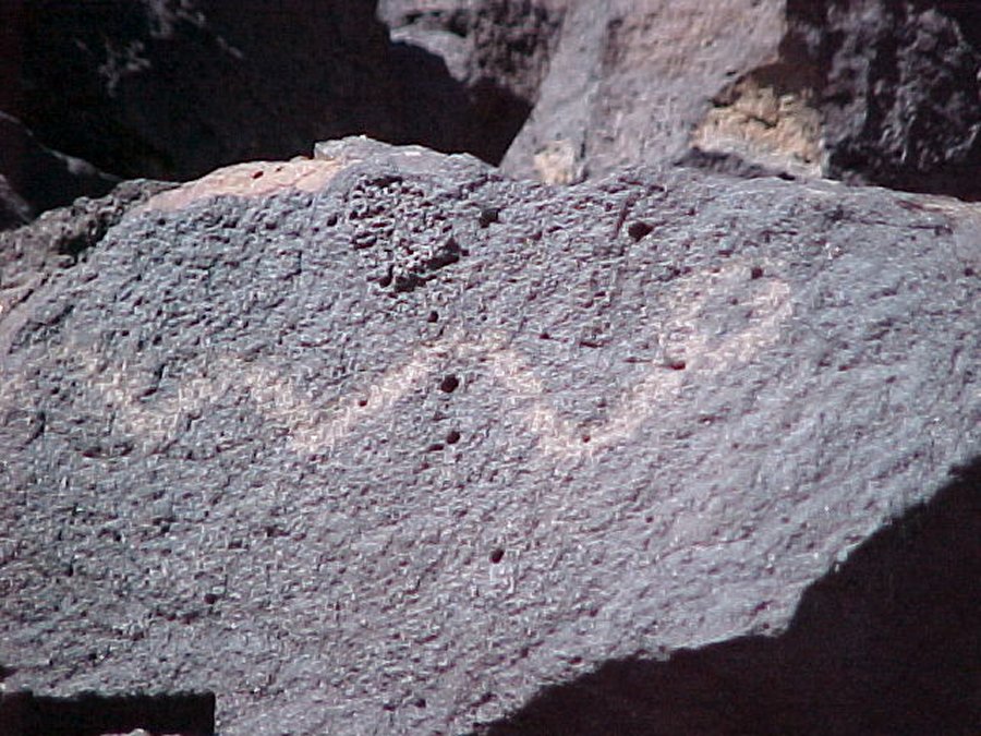
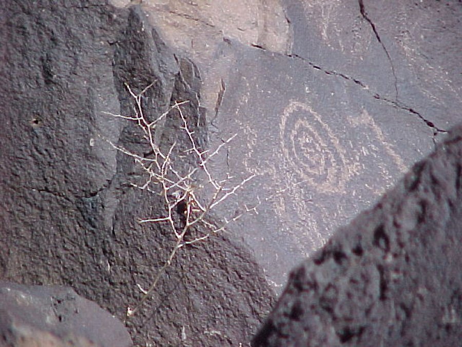
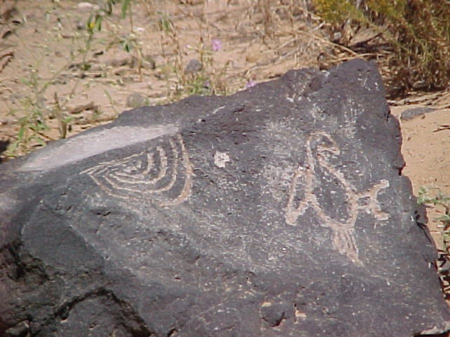
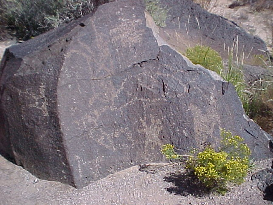
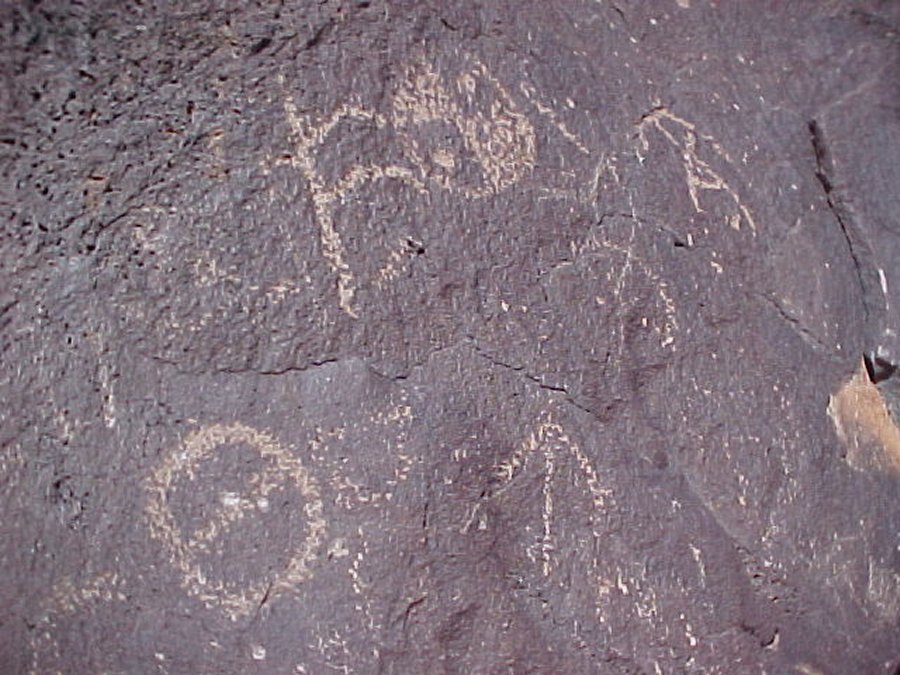
We follow the Rio Grande River from it's beginning around the great Sand Dunes in Colorado to Petroglyph National Monument in Albuquerque, New Mexico. Long ago people discovered that chipping away the rocks thin desert varnish revealed a lighter gray beneath and left a lasting mark. American Indians believe these images are as old as time. Archeologists estimate that most of the images were made 400 to 700 years ago by the ancestors of today's native people. Some images may be 2,000 to 3,000 years old. Beginning in the 1600's Hispanic heirs of the Atrisco land grant carved crosses and sheep brands into the rocks. Other explorers in the 1800's chiseled their names and dates into the boulders. Why were these images created? What do they mean? These questions may be answered by clues in the subject matter, carving technique, or setting. It took a long time to create each image with stone tools, so subject and setting for each petroglyph were carefully planned. Images of birds native to Central America indicate that the Native people were involved in an extensive cultural network. Do spirals represent a calendar, the cycles of life, or perhaps a desert millipede? Human like faces look out in two directions from the corners of boulders. Are they guarding a sacred location? Only the carvers know the petroglyphs' true meanings.
![]()
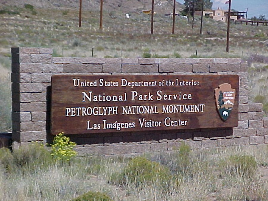 Petroglyph National Monument sign. |
 Visitor center sign. |
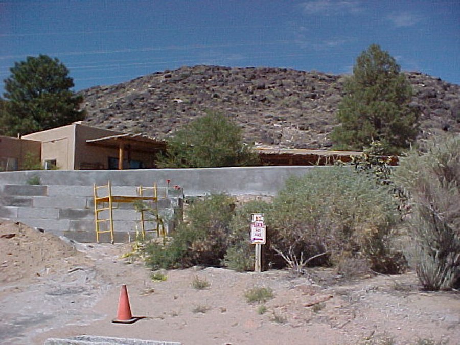 Visitor center is under construction. |
 The petroglyphs are a couple of miles from the visitors center. Here the Arrows point toward the path we took. |
 We had fun figuring out what the images meant. |
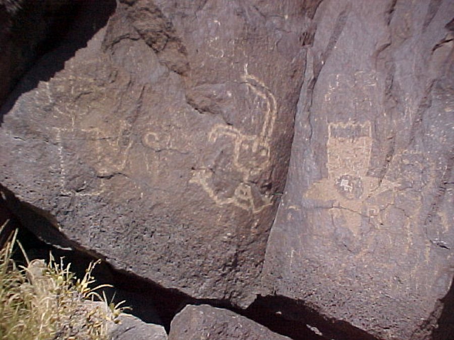
 This Indian was drawing a snake. |
 Indian graffiti. |
 Looks like a turkey buzzard to me. |
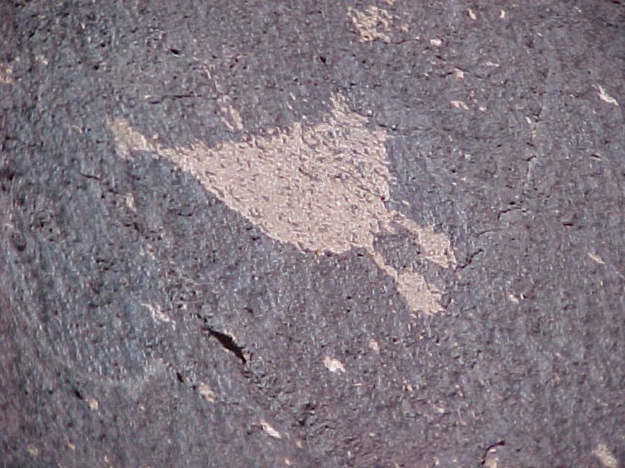 M R Duck. |
 You guess. |
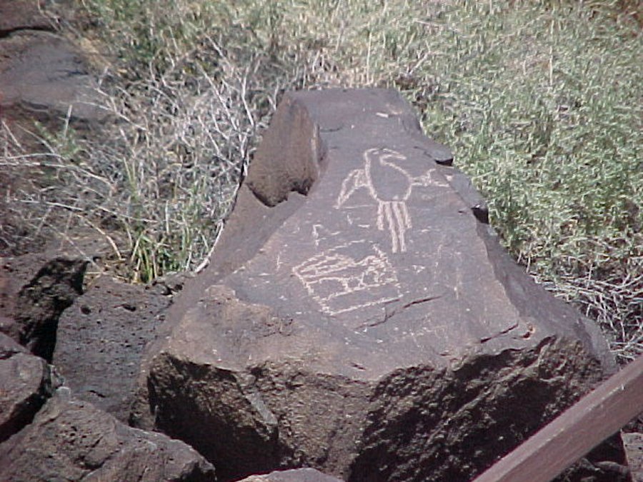 Here is the bird of paradise. |
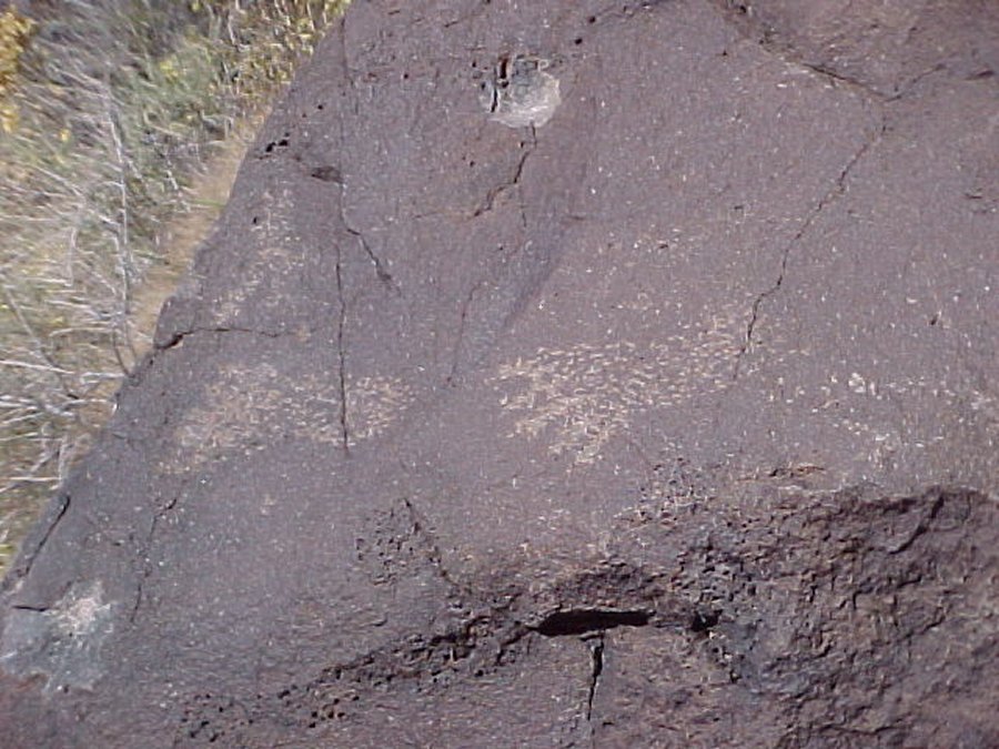 Foot prints. |
It looks like there is more vandalism than real Indian drawings. There are more rocks with space aliens that there are drawings that look like an Indian would have drawn them. |
||
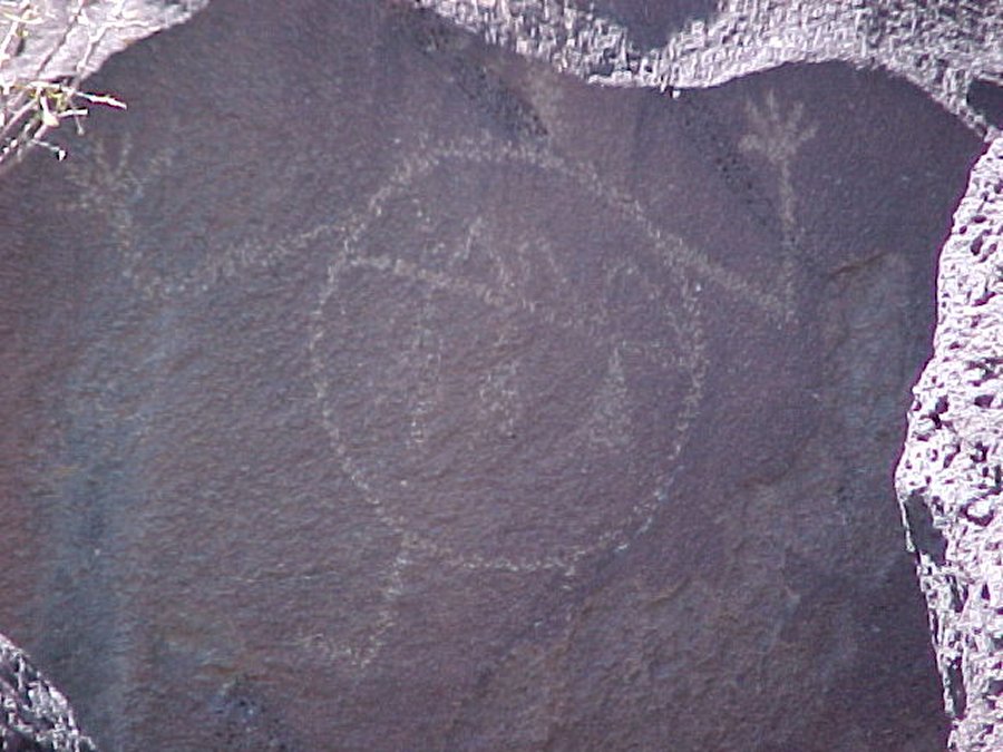
 This one has people watching a alien space ship land. |
 This is one of the aliens. |
 Here aliens drew a map as how to get back to their planet. |