Traipsing through Maine

September 2003


This is the dock for Seaview RV Park at low tide, at high tide the water rises 24 feet to where the dark sand on the beach is.
You can also see on the dock pillers the dark water mark at high tide. Also check out the cool RV spaces right on the beach.

eyes

We took U.S. Highway 9 from Bangor, Maine to Baring and headed south on Maine Scenic Highway 1. Nancy wanted to do some beach combing and David wanted to check out the 28 foot tide change in the Bay of Fundy. So we stayed three nights at the Seaview RV Park in Eastport. This is a typical east coast RV park. Park on the grass, most have water, some water and electric and some even have sewer hookups. Eastport is the most eastern city in the United States and is located right on the Bay of Fundy. Once called Freetown, Eastport was settled in 1780 and incorporated in 1798. Lubec was part of Eastport until it became a separate town in 1811. Birthplace of Maine's sardine industry, Eastport is one of the finest deep water ports on the east coast of the United States. A 100 acre reservation at Pleasant Point, near Eastport, is home to the Passamaquoddy Indian Tribe.

eyes


Click here to go to the bottom of the page

To view any picture on a larger scale just click on it.
Then click your browsers back button to return.


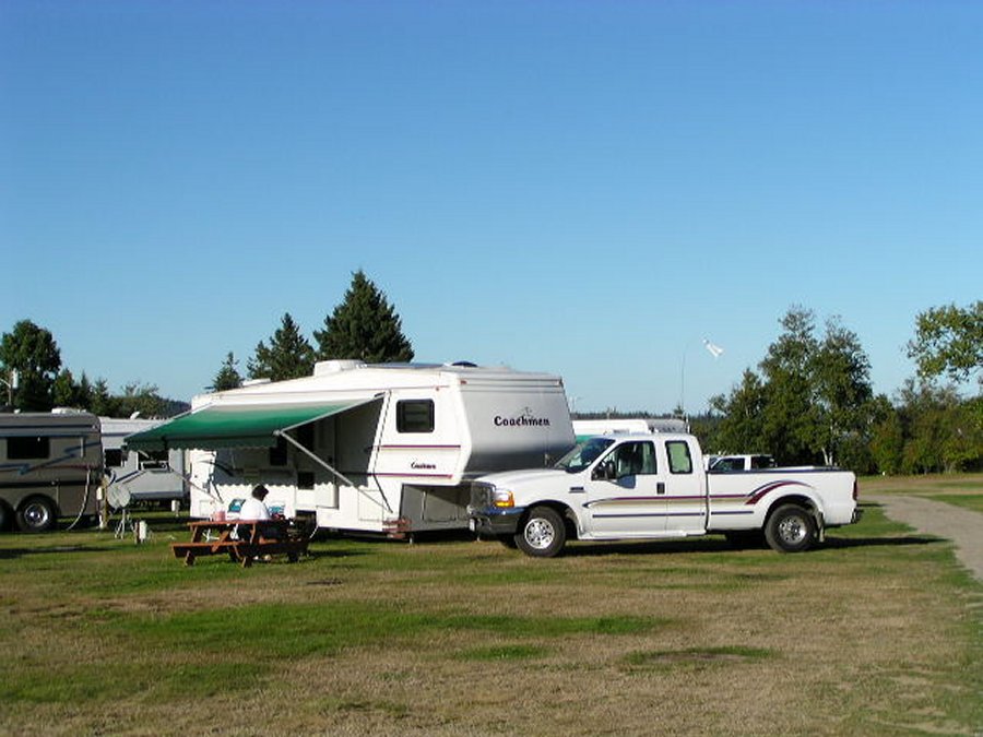
Out space at the Seaside RV park, there are a few spaces right on the beach but they were allready taken.

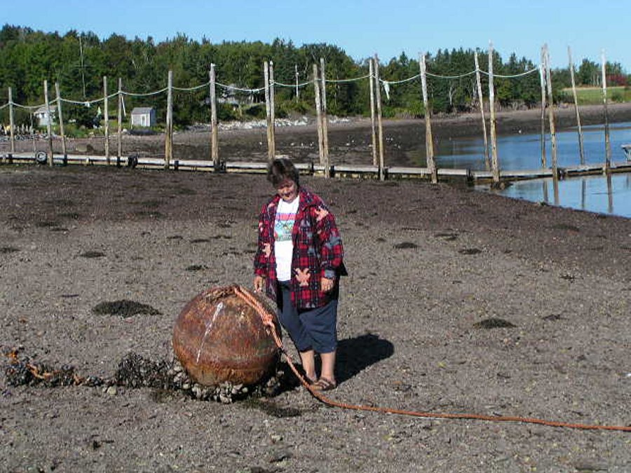
Nancy standing next to a buoy just laying on the beach. check out this buoy at low and high tide.

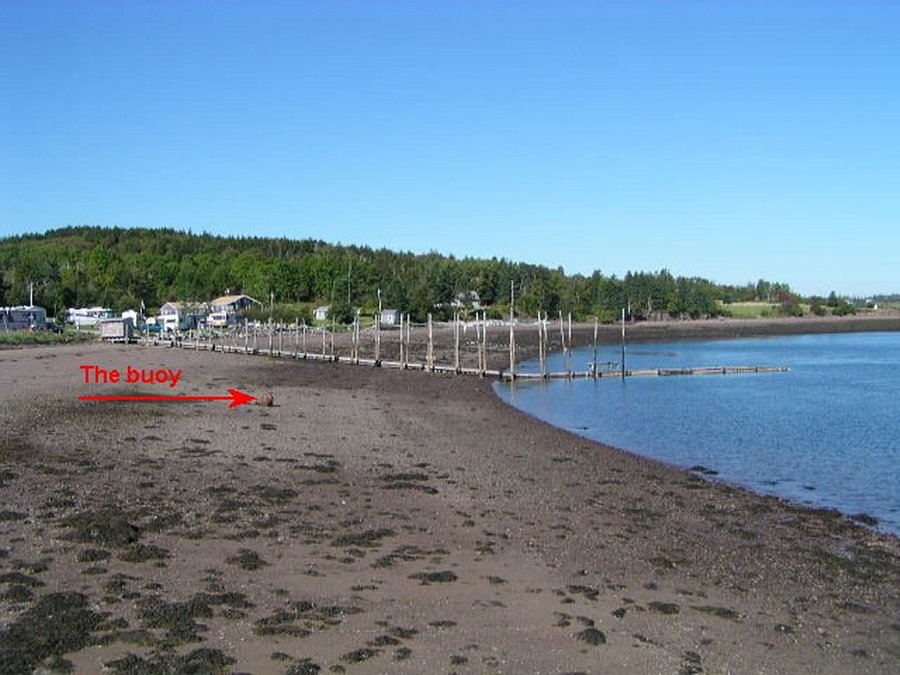
To show the 24 foot tides here I took this picture of the buoy at low tide.

Here is the same buoy at high tide, Nancy is not standing beside it now.

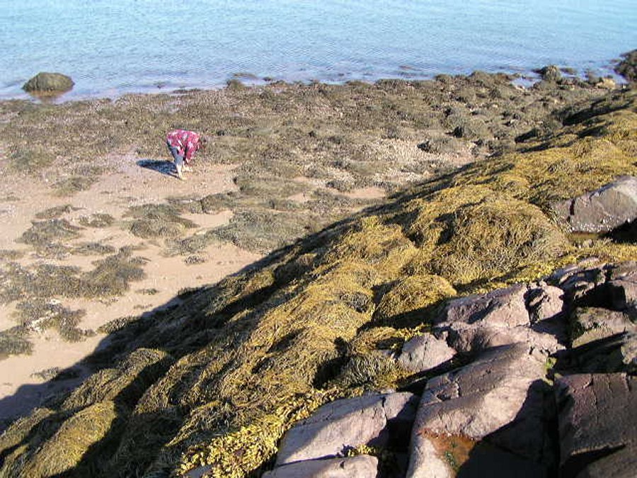
One more shot of the 24 foot tide, the water comes up to the top of the seaweed on this hill.

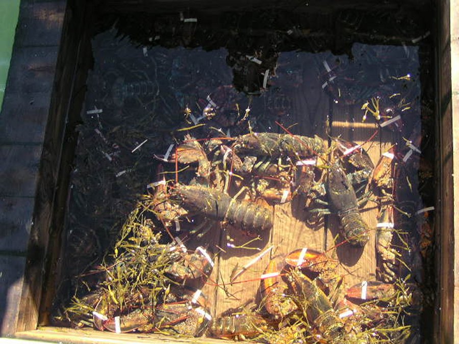
These are soft shell lobsters, they are smaller and are usually the special of the day is two for $16.00.

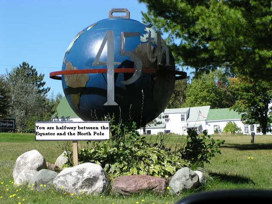
And here we stood half way between the Equator and the North Pole.

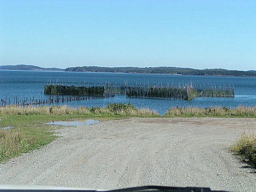
A 'weir' fish swim in at high tide and are trapped when the tide recedes.

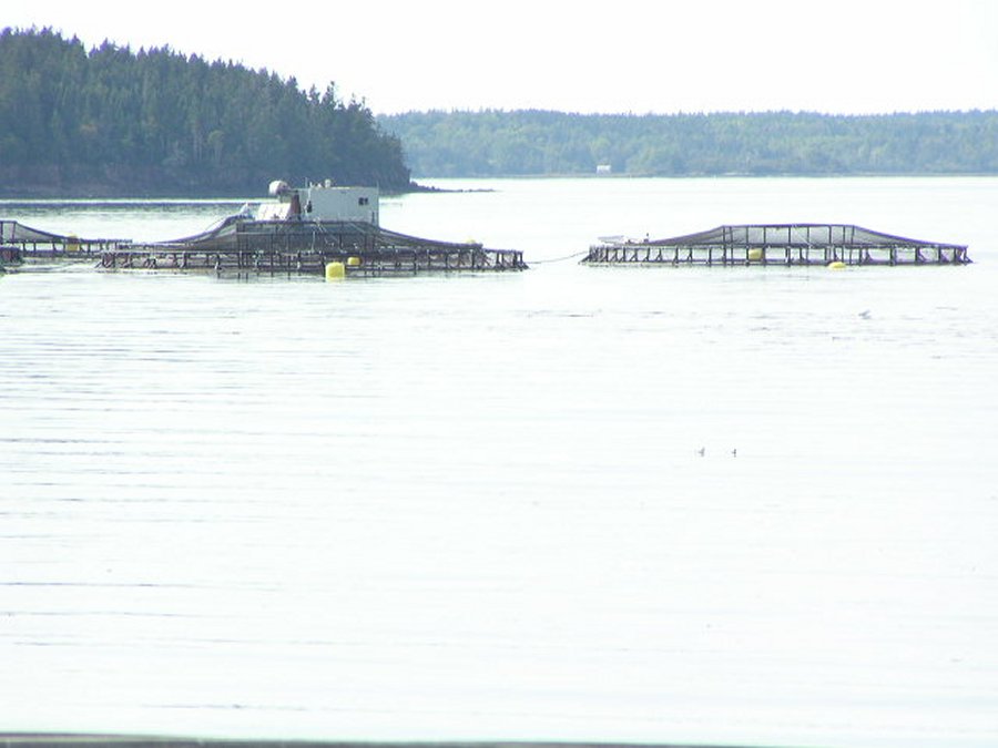
Eleven salmon farms house 15,000 salmon each and large compressors feed them automatically.

eyes

Roosevelt Campobello International Park


Standing on Campobello Island we can see the Peninsula of Eastport, Maine. Our RV site is just around that point on the right, 3 miles by sea, 40 miles by U.S. Hwy. 1.

James Roosevelt, his wife Sara, and one year old son Franklin Delano Rossevelt purchased a partially completed house and 1.6 hectares of land. The house was completed in summer 1885 and Roosevelts became the summer residents. When FDR came to Campobello as a child, it was to puruse the orderly summer adventures available to a well-to-do Victorian family. When he came as a young husband, whose third son was born on the island, it was to taste the excitements of childhood from the preventive of manhood and to pass on the his children the same challenges and rewards he had known. And finally, when he came as President of the United States, it was to take new strength and composure from Campobello's air and land, from the sea around it, and from the memories of ease his "beloved island" awoke him.

eyes


The ferry isn't running so we drive 40 miles around on highway 1.

Campobello Island is in Canada so we have to go through the border check point.

Canadian's have to come at a different time. Actually we have entered another time zone. Now San Diego is 4 hours earlier.

The U.S. Canada International Visitor Center.

The Roosevelt Cottage with lots of flower beds around it.

These flowers are awesome, we just had to take a few pictures of them.

.

.

.

This is FDR's bedroom.

This is one of the bathrooms.

The formal dinning room.

The kitchen.

The dinning room where the servents ate.

Here is the ice house.

Looking toward the bay from their back yard.

The boat dock.

The back of the house from the dock.

Click here to return to the top of the page