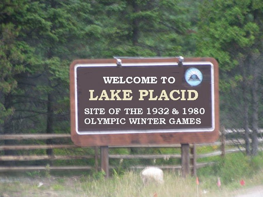
Lake Placid

August 2003


eyes

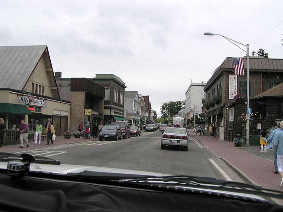
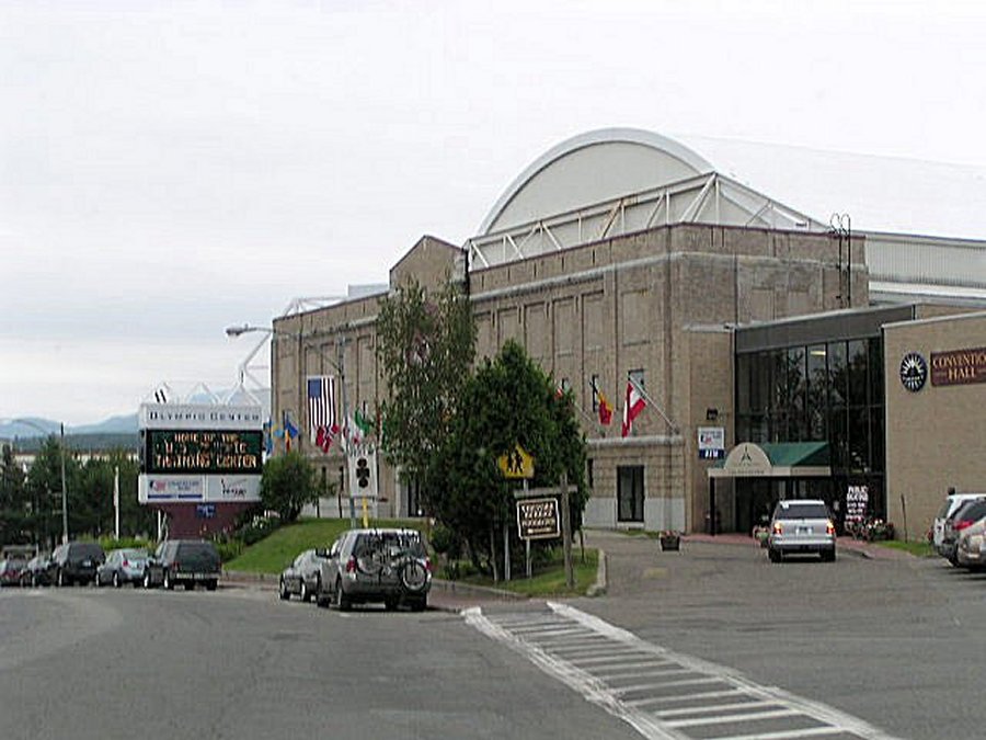
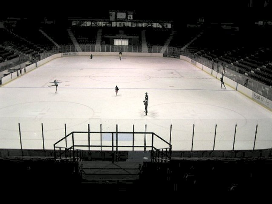
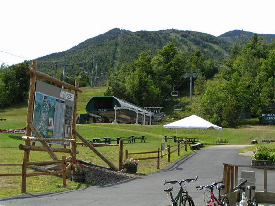
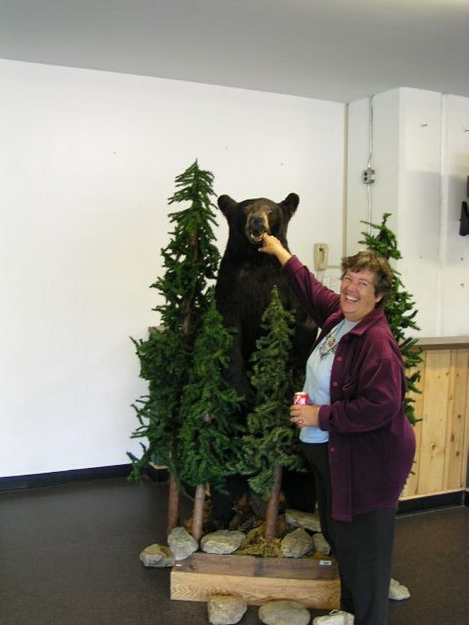
Lake Placid is a small town located in the Adirondack Mountains. It's historic past is home of the Winter Olympics. We were here on the wrong day to watch the skiers come down the ski jump, do flips and land in the swimming pool, but we did go into the center and watch some kids ice skating/training.

eyes


Click here to go to the bottom of the page

To view any picture on a larger scale just click on it.
Then click your browsers back button to return.


Downtown is one street six blocks long and is full of tourist shops.

This is the Olympic Center where everything happens.

Inside the Olympic Center. Signs everywhere re 1932 and 1980 Olympics held here.

Here are some Olympic hopefuls training/ice skating.

Adirondack Forest Perverse Wilmington Fume about 5 miles northeast of Lake Placid.

The Wilmington Fume goes through a gorge with awesome waterfalls.


Whiteface Mountain


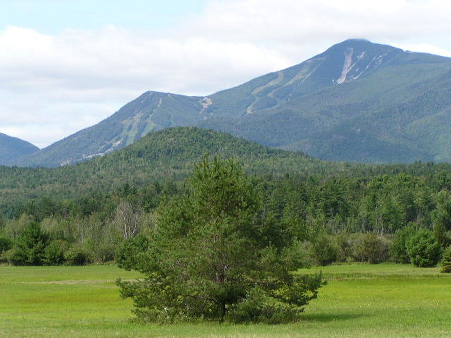
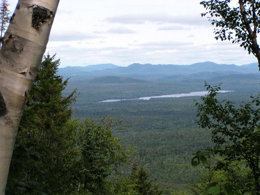
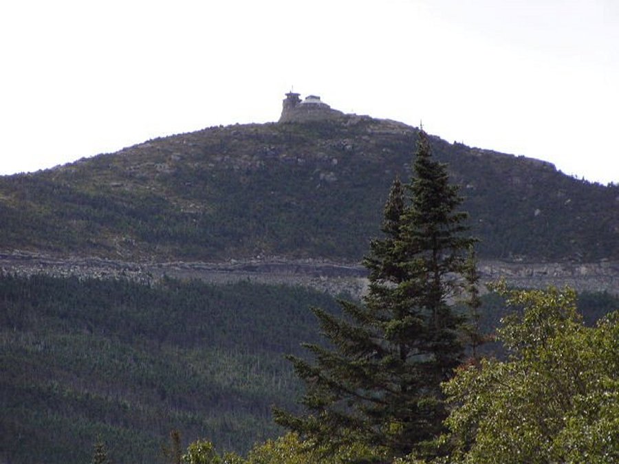
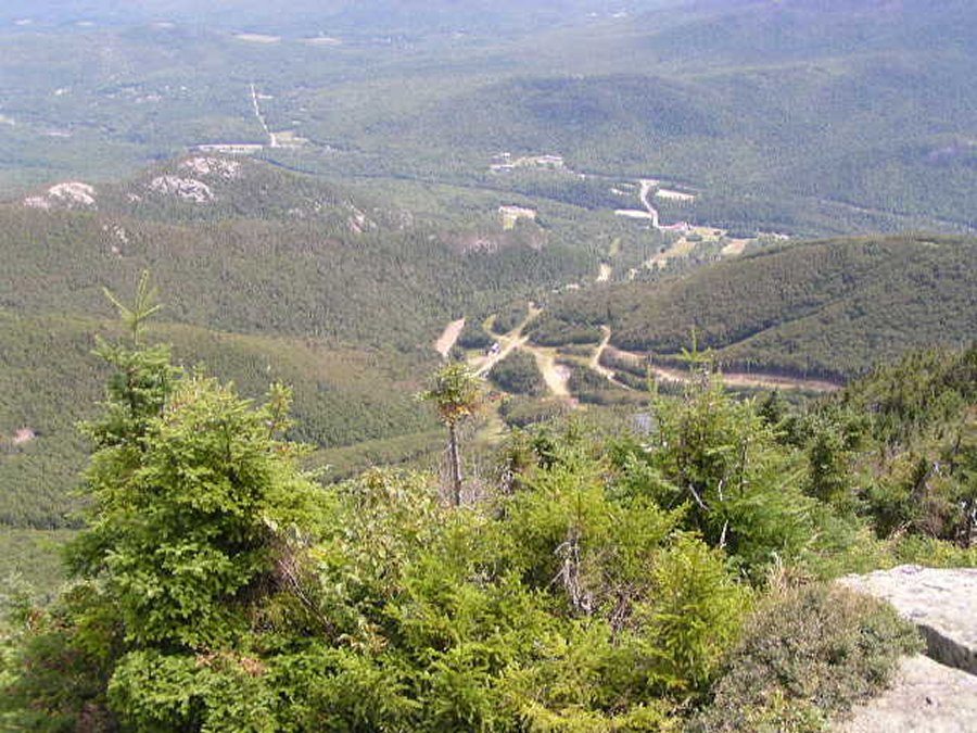
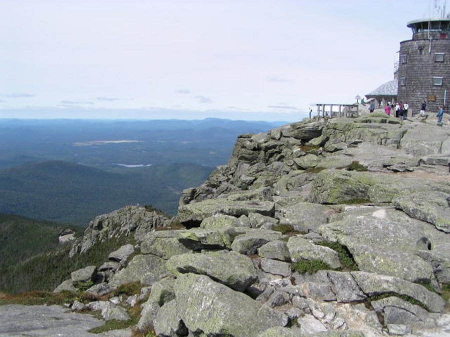
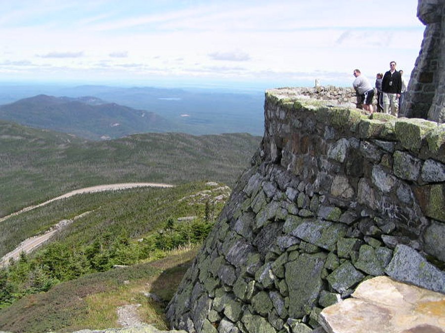
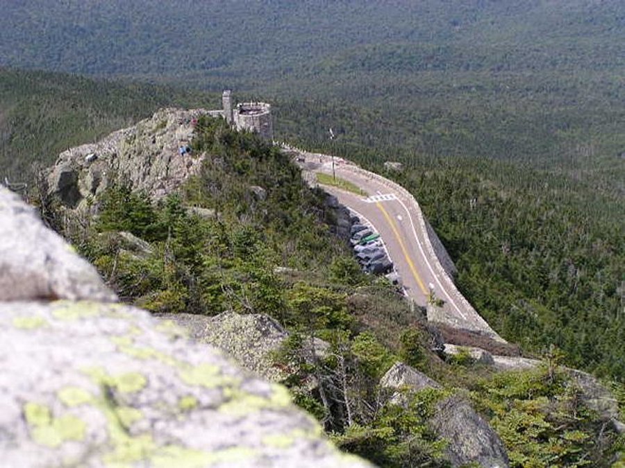
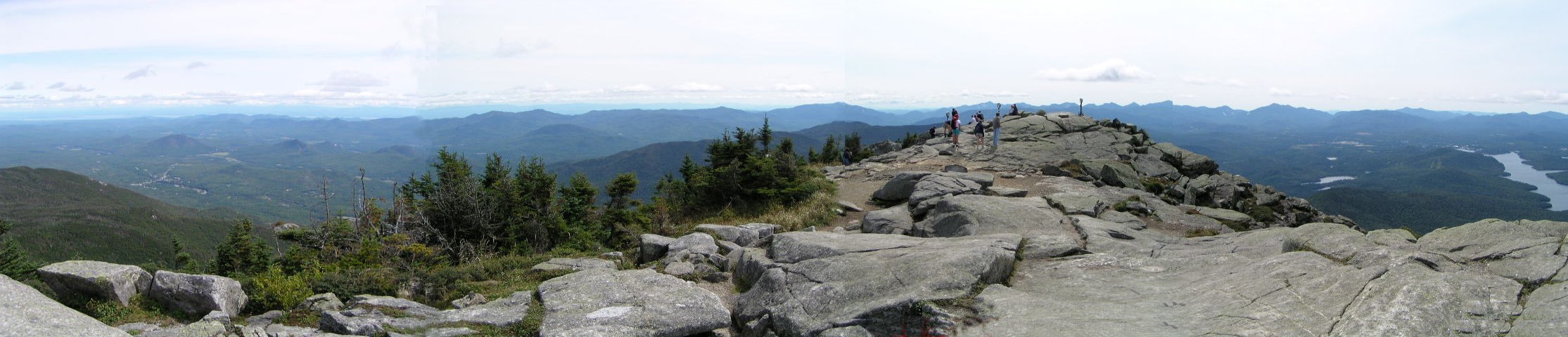
Whiteface Mountain, New York's fifth-highest peak (4,867 ft). From the summit you can look into Canada, New York and Vermont.

eyes

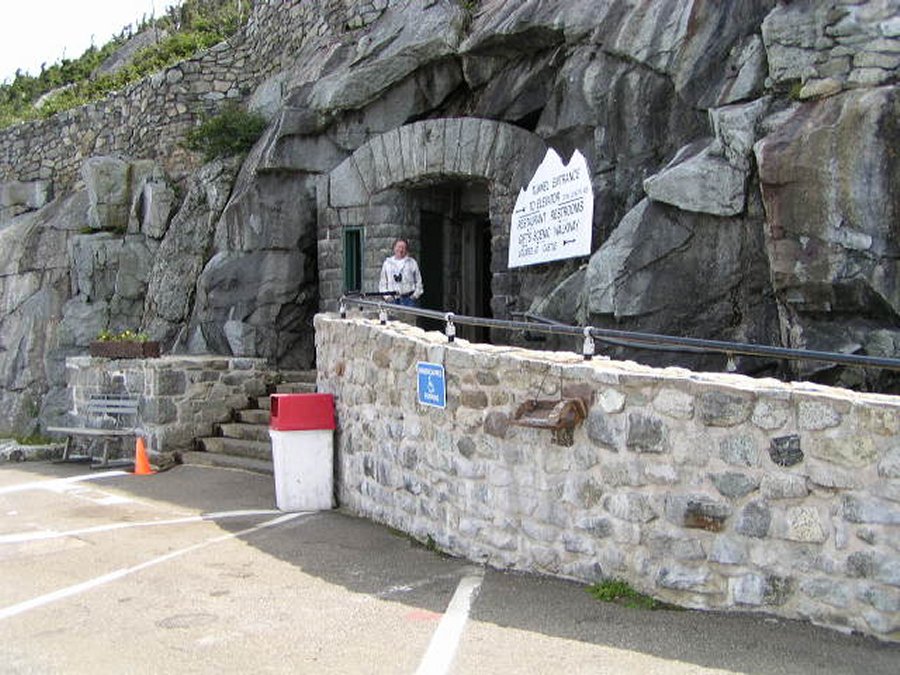
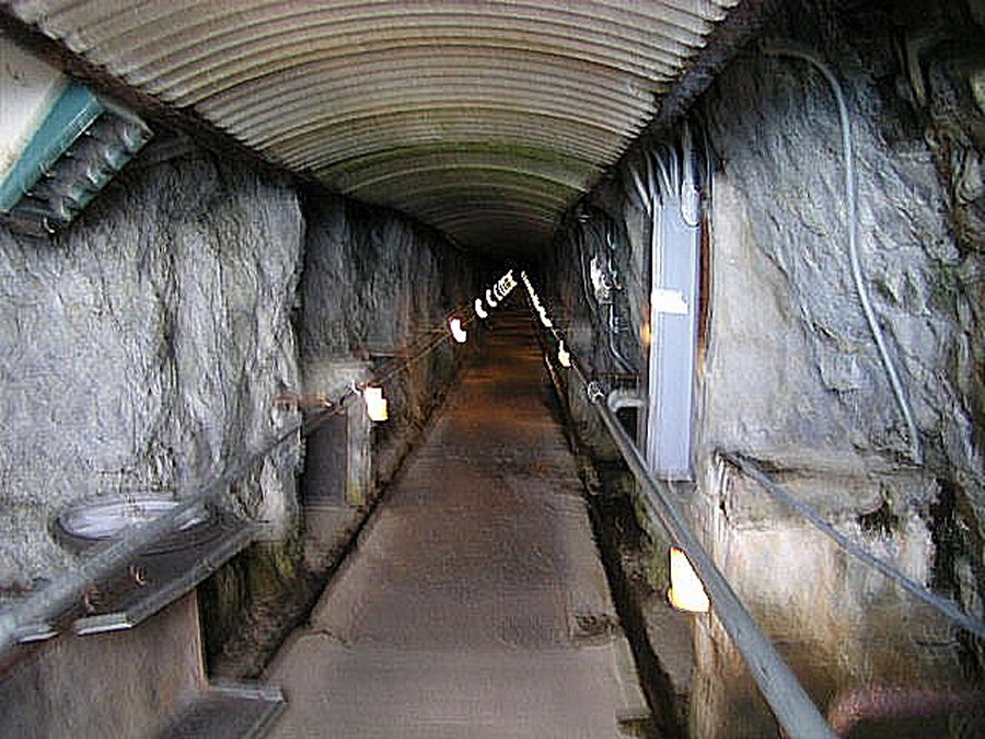
The drive to the top of Whiteface Mtn, New York's fifth-highest peak, is an unforgetable experience. Nowhere else is the beauty and vastness of the Adirondacks so apparent and so easily accessible. From the treeless summit of Whiteface one can see hundreds of square miles of forest, lakes and mountains stretching from Canada to Vermont. At the summit a castle was built from native stone and an elevator that climbs the 279 feet up from the parking lot to the stone Summit House. The elevator is reached by a 426 foot long tunnel bored into the mountain. The summit is barren of trees, affording visitors a 360-degree panoramic view. The day we were there the temperature was 40 degrees with visibility of 50 miles.

eyes


Whiteface Mountain Ski resort is about 10 miles past the Wilmington Fume.

A popular place with ski trails that you can hike this time of year or take a gondola to the top.

Here is Nancy inside Whiteface Mountain Ski Resort checking the teeth of this brown bear.

Whiteface mountain is 4,867 feet high with a spectacular view of the Adirondack Forest.

The pay station at the start of the five mile road that goes up over 2,300 feet to Whiteface Mountain.

Lake Union from one of the overlooks on the way to the top.

The castle at the top of Whiteface Mountain.

The only way to turn around at the top is to make the U-turn through the castle. I had to fold my mirrors in to go through the narrow entrances. There is also a gift shop and a snack shop in the castle.

There is a 1/5 of a mile trail that goes up 26 stories so we opted for the elevator. The trail sign says only take the trail if you are in good physical condition and are waring slip resistant shoes.

first we travel 424 feet through this tunnel to the elevator that takes us up 200 feet to the summit.

Looking down at the Whiteface Mountain Ski Resort and the ski trails.

Looking east toward Lake Champlain and Vermont.

David on the edge of the world with Lake Placid (southwest) directly below him.

This is looking north Across New York into Canada.

From the observation tower check out the rock castle and parking lot 250 feet below. You can also see people coming up the trail.


Ausable Chasm


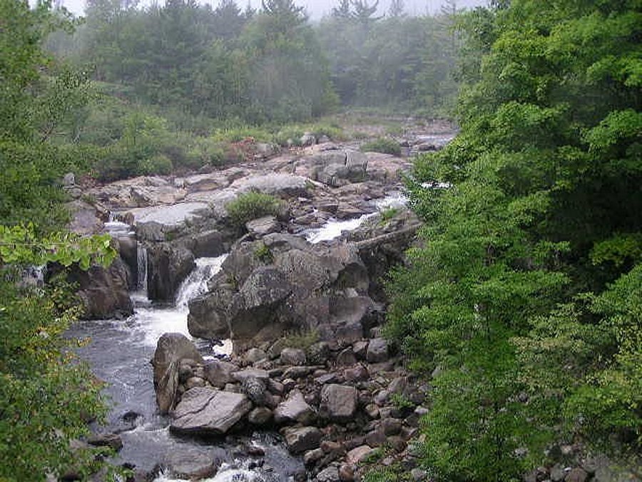
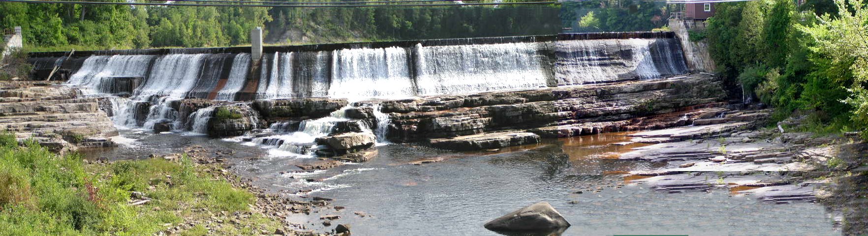
Looking south upstream This was taken from the River Street bridge over the Ausable River.
This dam is the beginning of the Ausable Chasm.

eyes

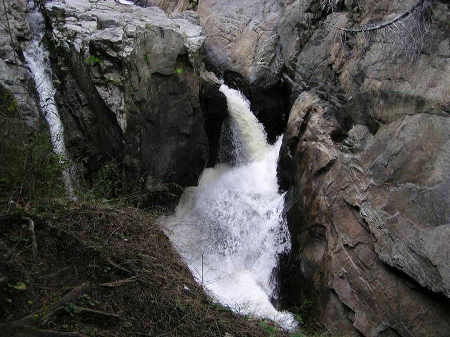
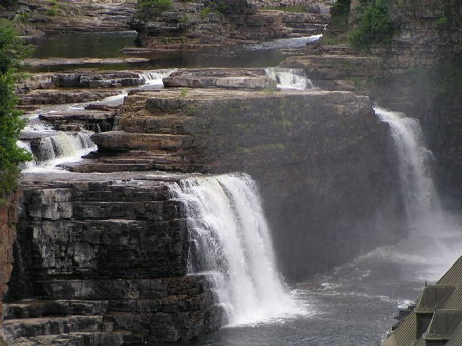
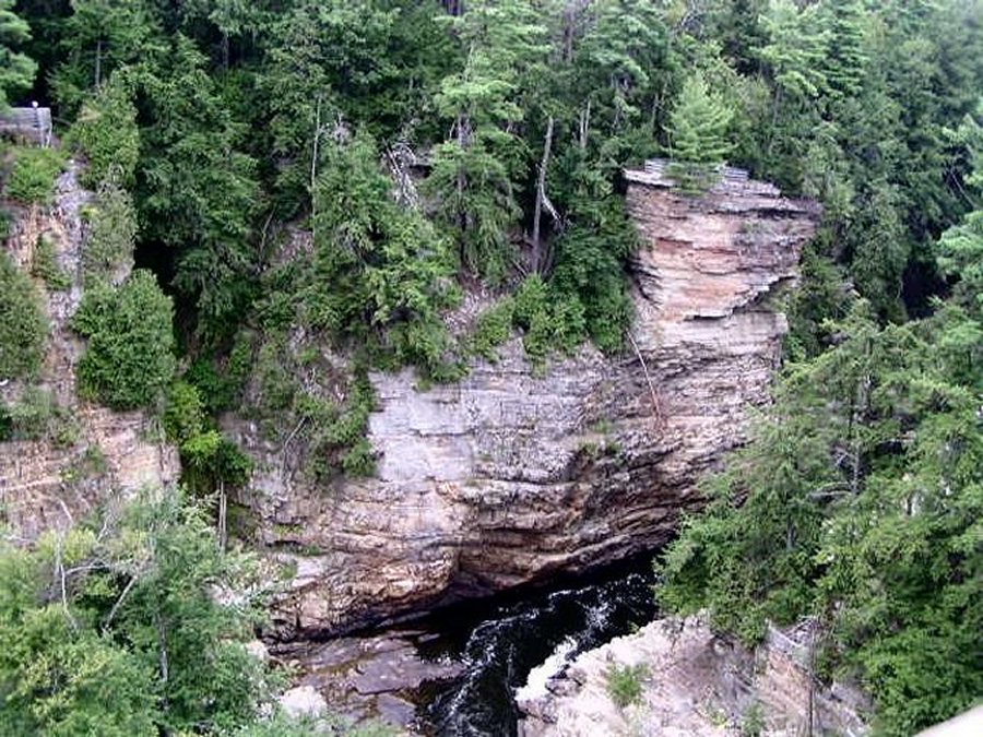
The last place we visit in the Adirondacks is what they call the Grand Canyon of the Adirondacks. Ausable Chasm is a cool place to visit. The brochure says at the end of the last ice age glacier waters carved this spectacular box canyon out of extremely hard Potsdam sandstone. This deep layer of ancient beach sand, now cemented by geologic forces, lay at the edge of a broad shallow sea over 500 million years ago. Headwater erosion, gnawing at the rock, created rainbow falls at the head of the Chasm. Now that the dam divert water for production of electricity, erosion has nearly halted.

eyes


Rainbow falls on the left and water flowing out of the hydro electric plant on the right. The visitor center is on the far left.

Close up of Rainbow falls.

Looking down into the chasm from the highway 22 bridge.

From highway 22 the chasm curves from the previous picture.

This is another curve in the chasm from the previous picture.

This part of the chasm is called Elephant head.

Click here to return to the top of the page