![]()
 |
![]()
|
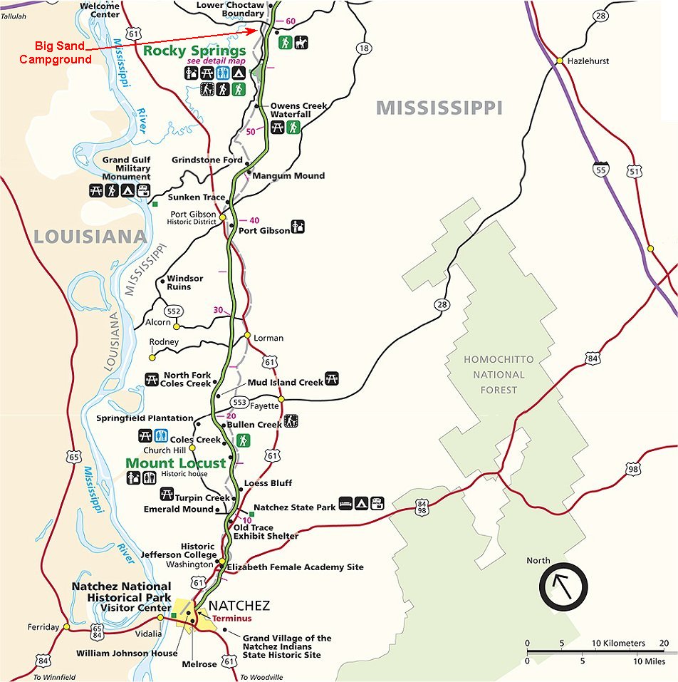
We traveled 60 miles the first day taking in all the exhibits and some hikes. Then stayed at the Big Sand Campground
about 4 miles west of the trace on highway 27. Rocky Springs has a National Campground but there is no hook-ups.
Because of the 88 degree heat and 80% humidity we wanted to find a RV Park with water for showers and electric so we
can run the A/C all night and sleep in comfort.
Springs were important to early travelers, providing relief from the dust and heat of the trail. Settlement was often determined by the location of dependable springs. A good spring saved the expense and hard work of digging a producing well. Rocky Spring got its name because it flowed from under a rock ledge. The name evolved to Rocky Springs and was adopted by the community which grew up nearby.
Called "the Rocky Spring" by early travelers, the town later became Rocky Springs, a rural community covering about 25 square miles. Settlement of the area began in the late 1790's and continued until about 1860, reaching a peak of approximately 2600 people. Several businesses were established at different times, among them carpenters, wheelwrights, a well digger, cabinet makers, a cotton gin maker, and blacksmiths.
The nearby spring no longer flows. Today only the church and cemetery, two rusting safes, and several abandoned cisterns mark the area. The Civil War, yellow fever, destructive crop insects, and poor land management brought an end to this once prosperous rural community.
![]()
To view any picture on a larger scale just click on it.
Then click your browsers back button to return.
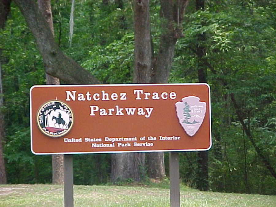 Start of the Natchez Trace Park. |
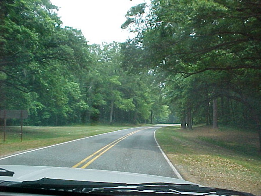 Gorgeous drive. |
 First of the exhibit signs on the east side of the road. |
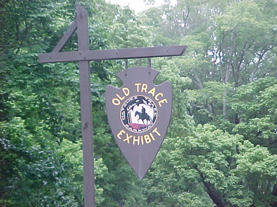
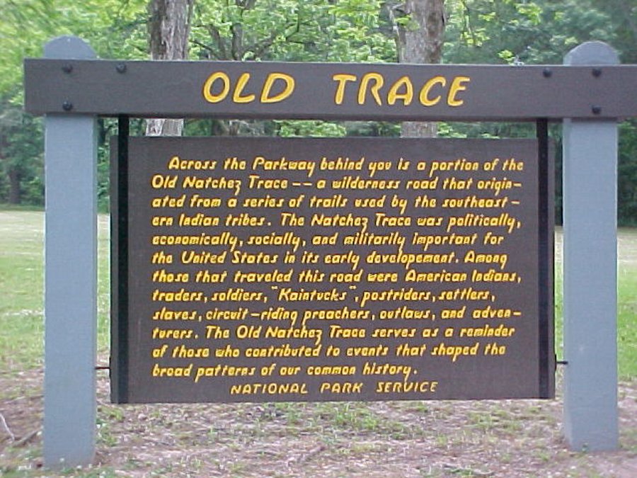 "Old Trace" exhibit. |
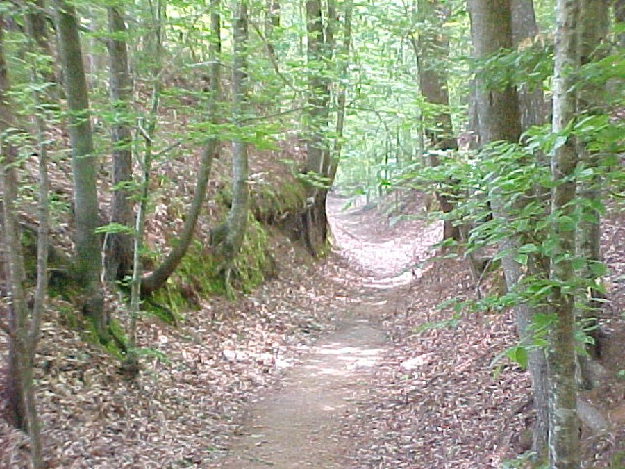
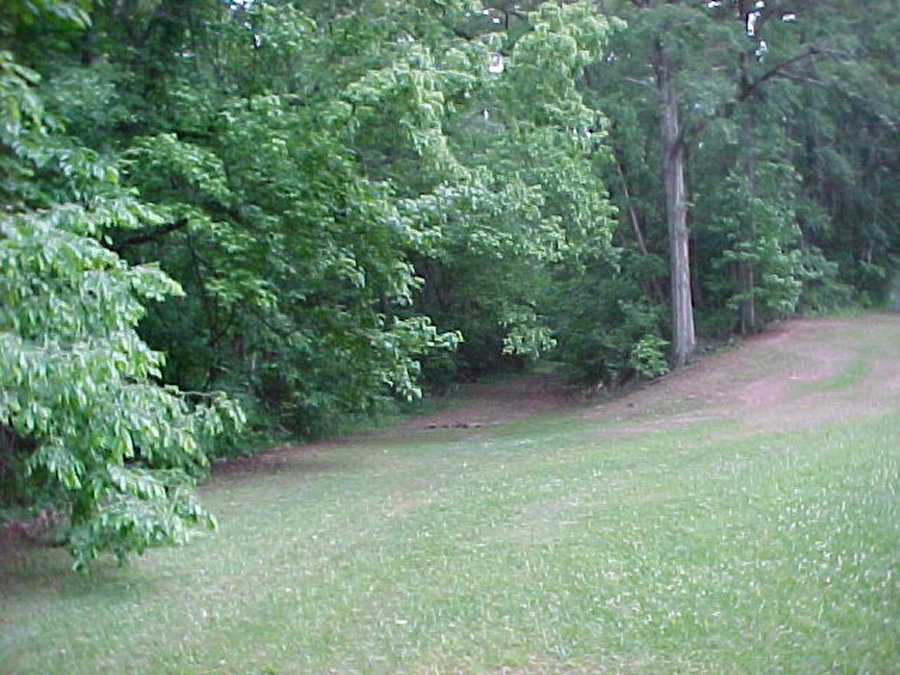 Lower section under trees is a portion of the old trace. |
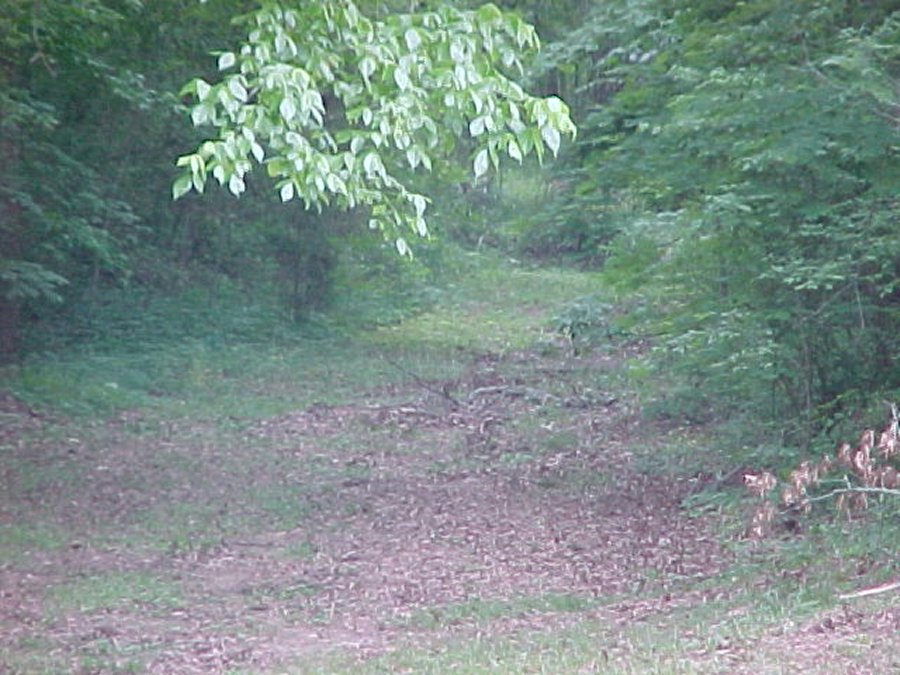 We walked down the Old Trace a ways. |
 Natchez Trace in the spring. |
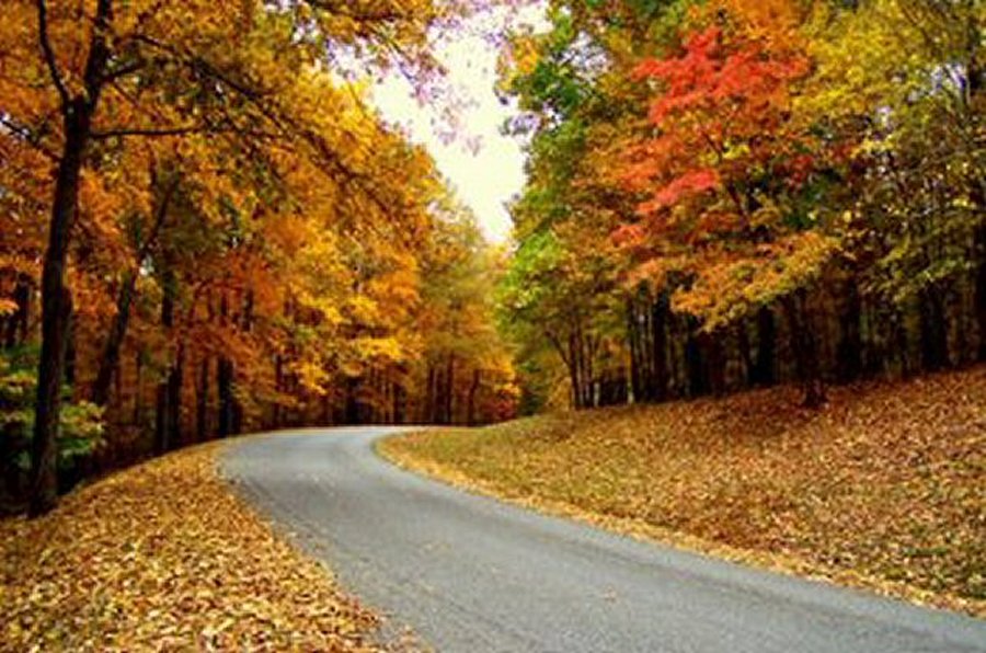 Natchez Trace in the fall. |
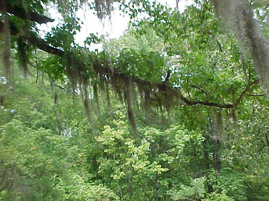 Spanish moss hangs in the tree branches. |
We have friends that live in Iowa on top of the Loss Hills. We have followed the Loss Hills from South Dakota through Iowa and into Missouri. The farmers found that if they terrace the hills straight down they don't erode, but if the hills are terrace at an angle they will erode. The Loess Hills Scenic Byway traverses internationally distinctive landforms as it follows the Missouri River Valley in Western Iowa, taking you through some of the most interesting country in the Midwest. Thousands of years ago, active glaciers covered much of the northern United States. When these glaciers melted, they left fine silt particles that formed a yellow soil called loess (pronounced "luss"). Strong windstorms deposited layers of loess several hundred feet thick on both sides of the Missouri River Valley, molding the soft soil into sheer ridges and rippled hills. |
||
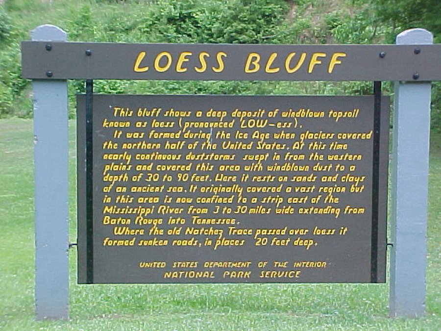 A little info 'bout the hills on this side of the Mississippi River. |
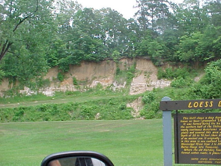 One hill that's been cut for the parkway. |
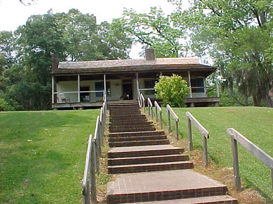 Mount Locust Inn and Plantation. |
The historic home, now maintained and preserved by the National Park Service, was begun in 1780 by an early settler named John Blommart. The leader of a failed rebellion against the Spanish, who then controlled the Mississippi Valley, Blommart lost the home and the rest of his fortune. It was then taken over by his former business partner, who carved a plantation from the wilderness and made Mount Locust a fixture for travelers on the Natchez Trace. |
||
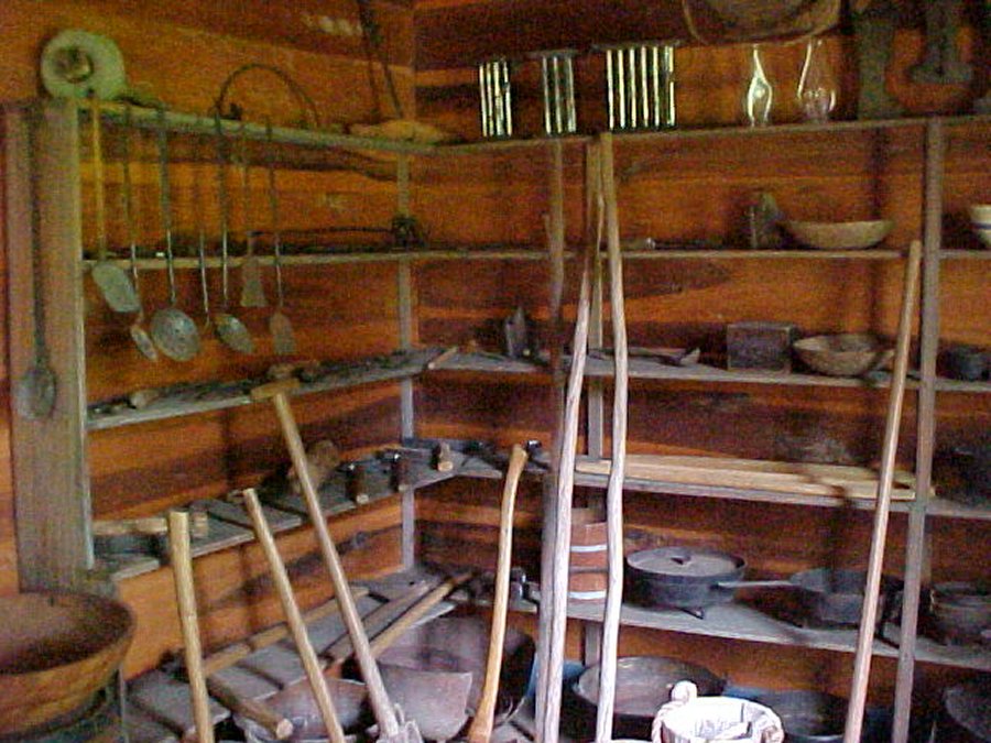 Store room with kitchen equipment, etc. |
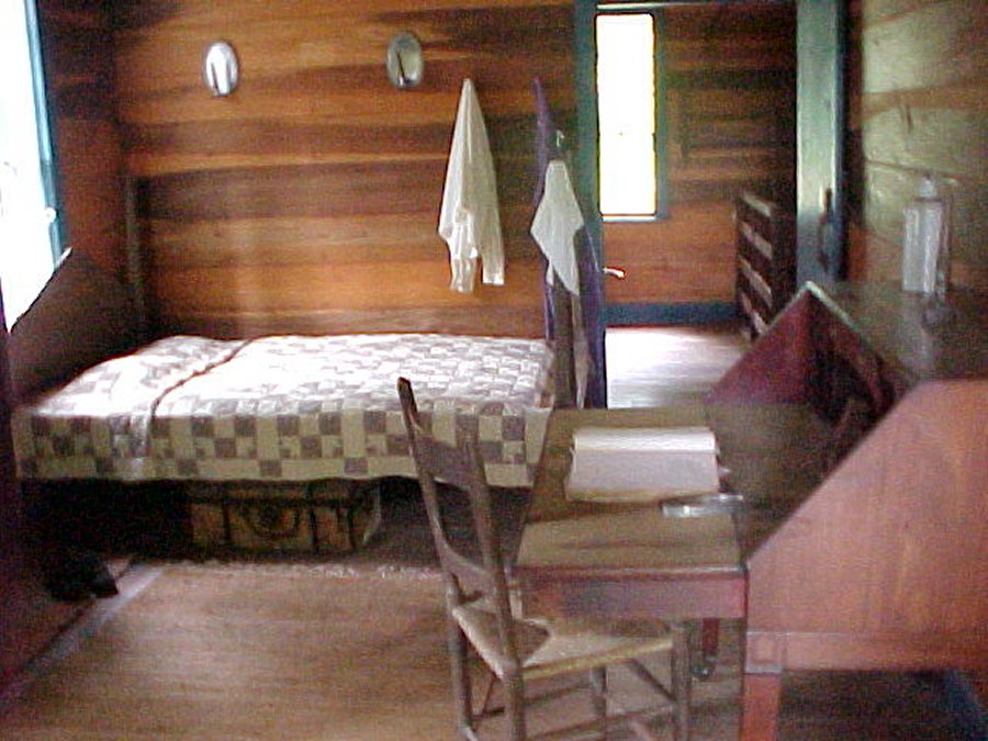 Their daughter's bedroom. |
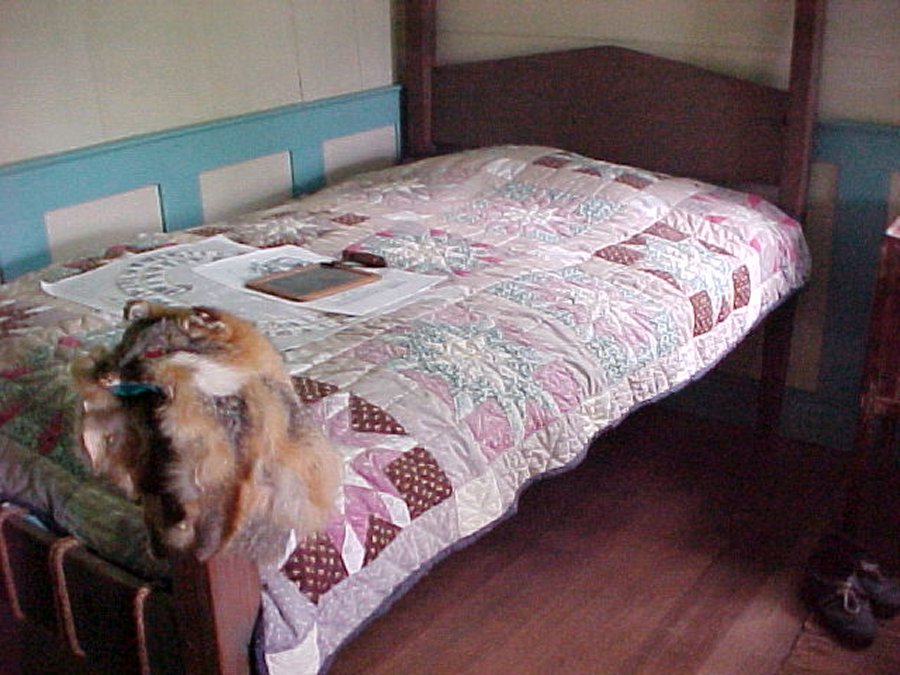 Their son's bedroom. |
A turn west off the parkway onto Rte. 552 leads along a quiet back-country road to Windsor Ruins, the haunting skeleton of what was once the largest and most impressive antebellum home in Rocky Springs. Completed in 1861 at the then-staggering cost of $175,000, Windsor served as an observation post for Confederate troops and, later, as a hospital for the Union Army. Ironically, the building survived the Civil War intact, only to be destroyed in 1890 by a fire ignited by a careless smoker. Today, all that remains of the once-magnificent mansion is 23 weathered Corinthian columns, their ornate iron capitals touching nothing but the deep blue southern sky. |
||
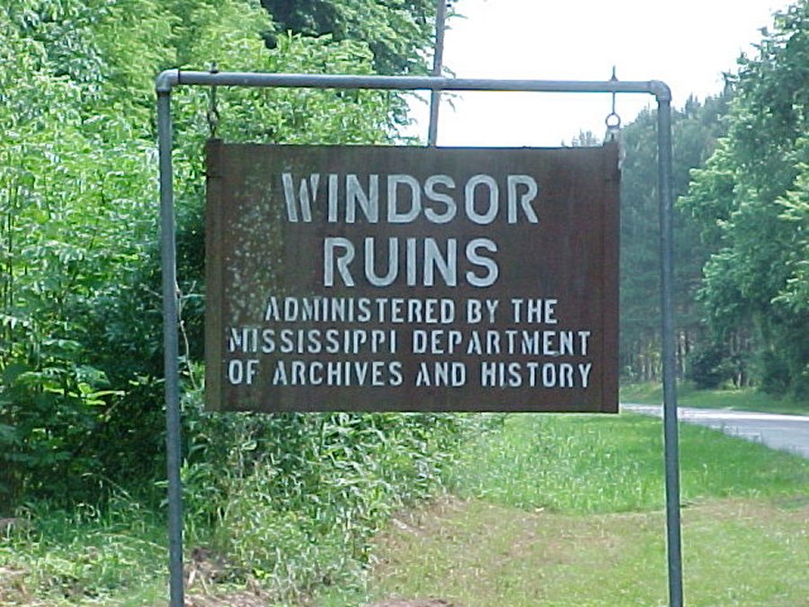 Sign at the turn off (where we parked). |
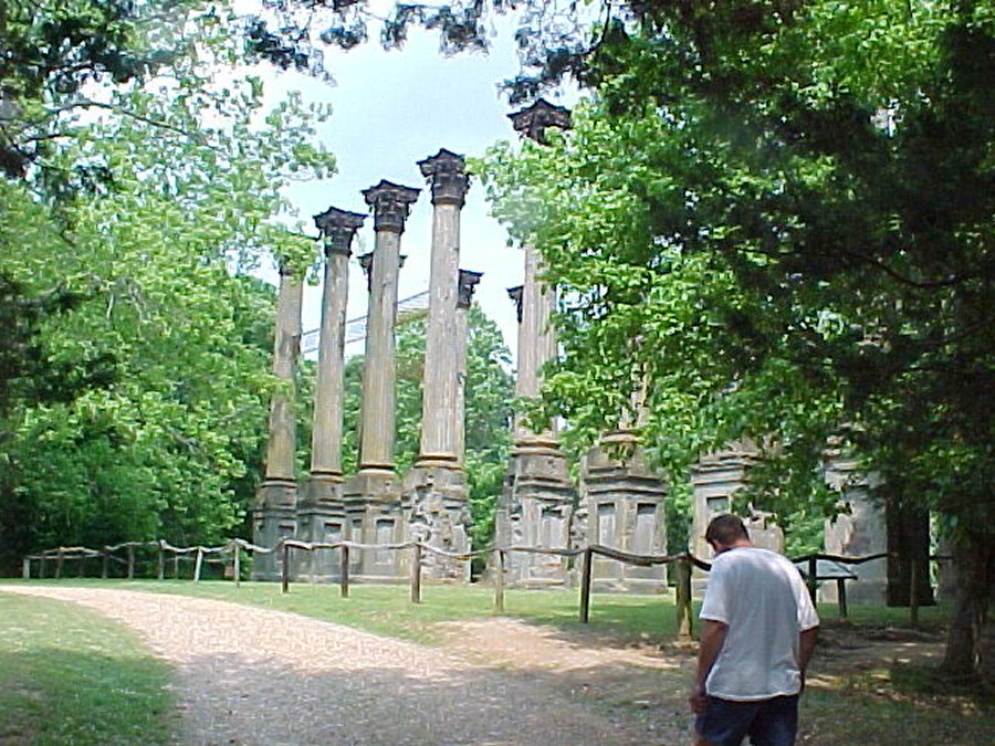 David walking up the drive way. |
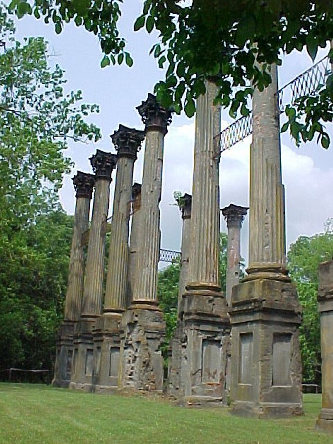 The Corinthian columns and ornate iron capitals. |
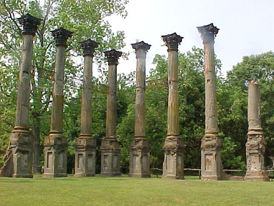 Some of the 23 columns still standing. |
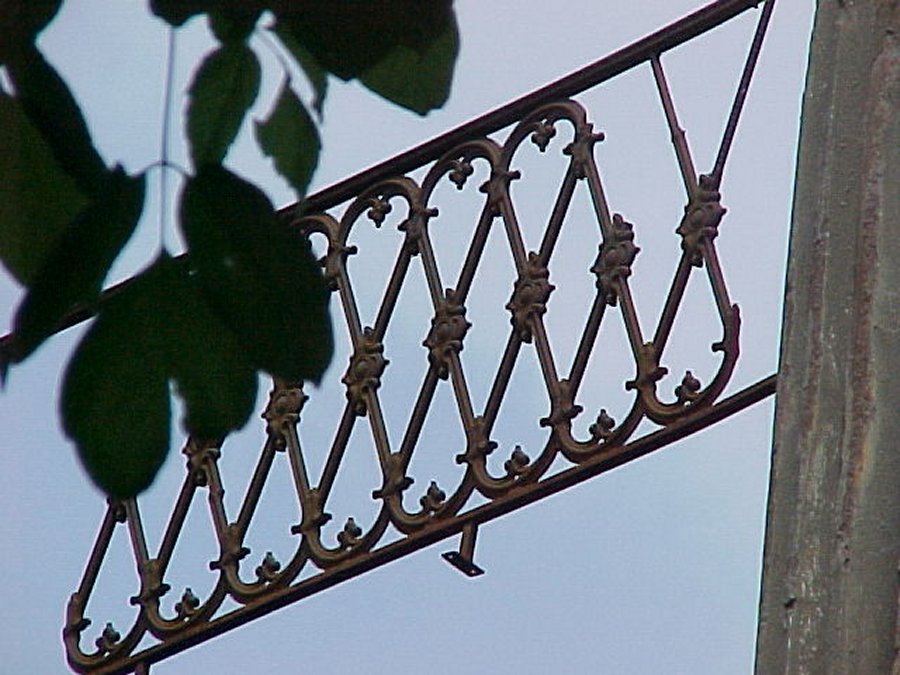 Close up of the ornate iron capitals. |
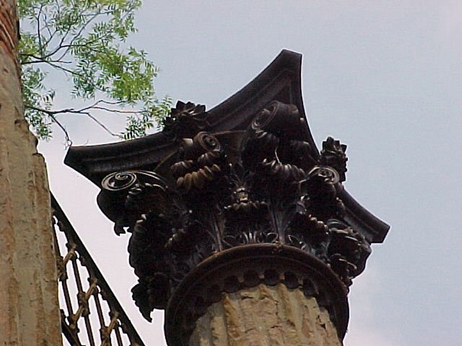 Close up of the top of the columns. |
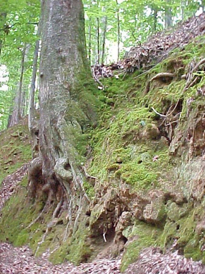
This early interstate road building venture produced a snake-infested, mosquito-beset, robber-haunted, Indian-pestered forest path. Lamented by the pious, cussed by the impious, it tried everyone's strength and patience. When the trail became so water logged that wagons could not be pulled through, travelers cut new paths through the nearby woods. |
||
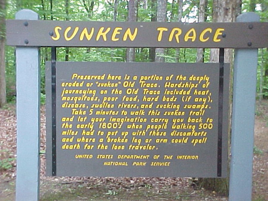 Exhibit sign. |
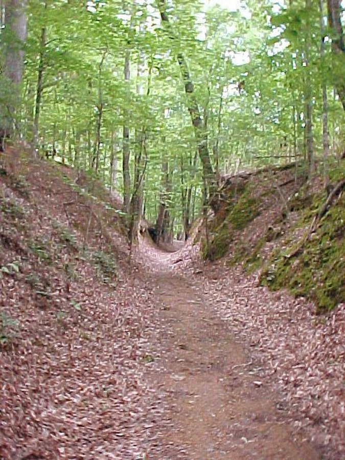 There are trails in 3 directions. |
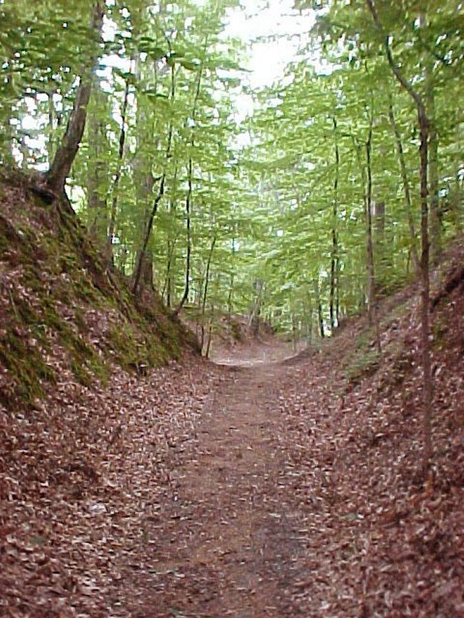 You can almost hear the footfalls of those gone before us! |
 Tree and moss along the way. |
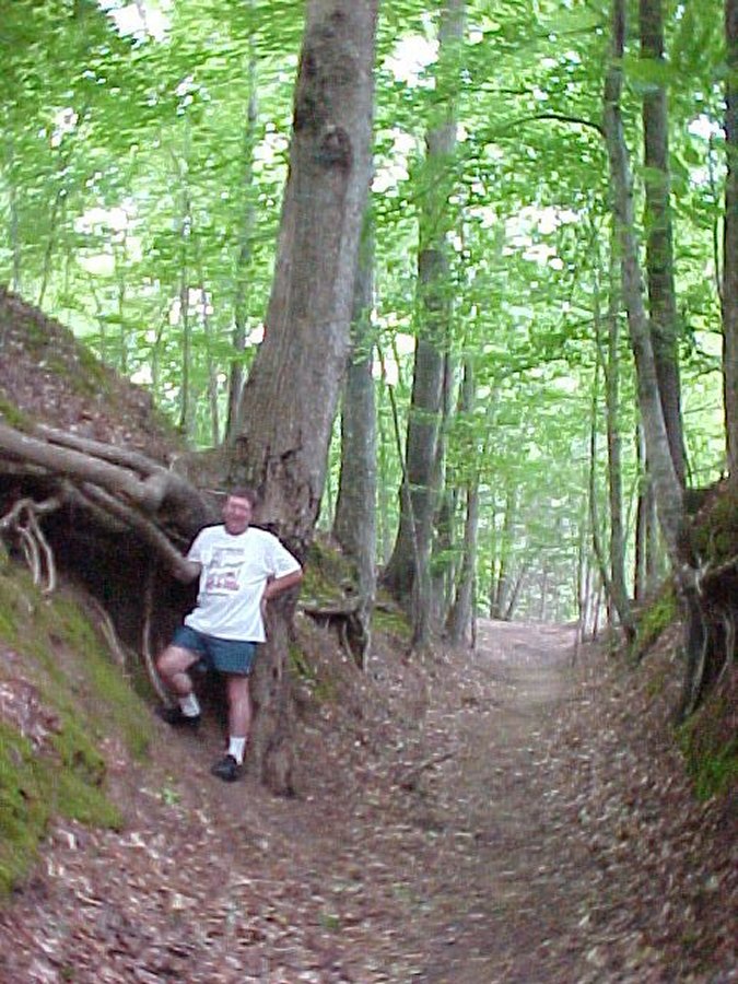 My beloved, tree roots and trail. |
 Awesome. |