![]()
 |
![]()
|
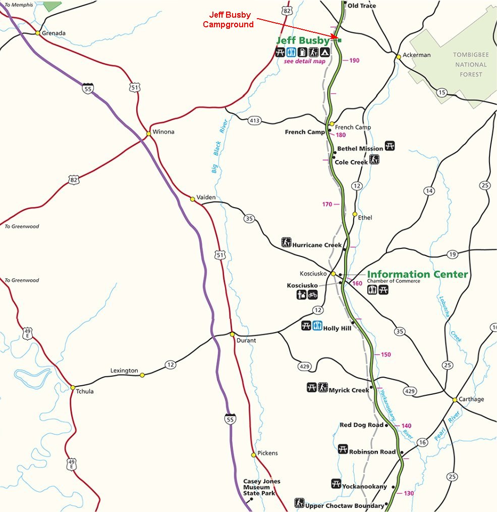
We leave Ratiff Ferry RV Park and continue north on the Natchez Trace Parkway checking out the exhibits and trails along the way. We traveled about 75 miles today ending up in the National Park campground called Jeff Busby Park. The National Park campgrounds along the Trace are free so we stayed here two nights.
![]()
To view any picture on a larger scale just click on it.
Then click your browsers back button to return.
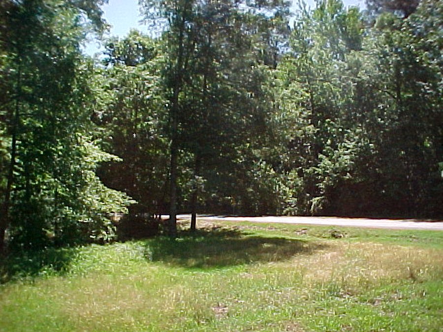
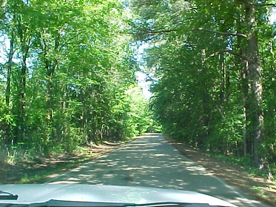 The road leaving the RV park. |
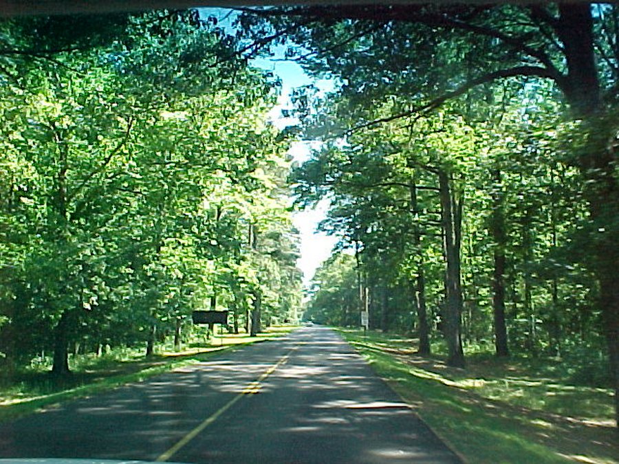 Back on the Natchez Trace Parkway, we stopped at more exhibits and nature trails. |
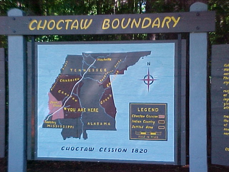 Choctaw Boundary. |
The Treaty of Doak's Stand (7 Stat. 210, also known as Treaty
with the Choctaw) was signed on October 18, 1820 (proclaimed on January 8, 1821) between the United States
and the Choctaw Indian tribe. Based on the terms of the accord, the Choctaw agreed to give up approximately
one-half of their remaining Choctaw homeland. In October 1820, Andrew Jackson and Thomas HindsThomas
were sent as commissioners that represented the United States to conduct a treaty that would surrender
a portion of Choctaw country in Mississippi. |
||
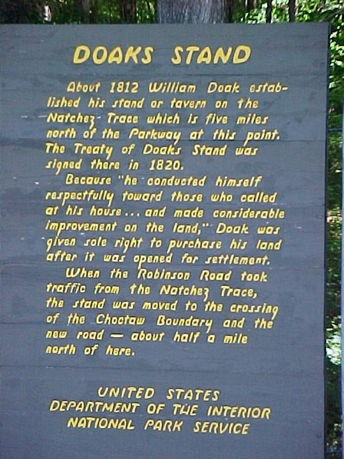 Doaks Stand. |
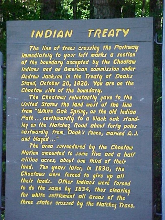 Choctaw Treaty. |
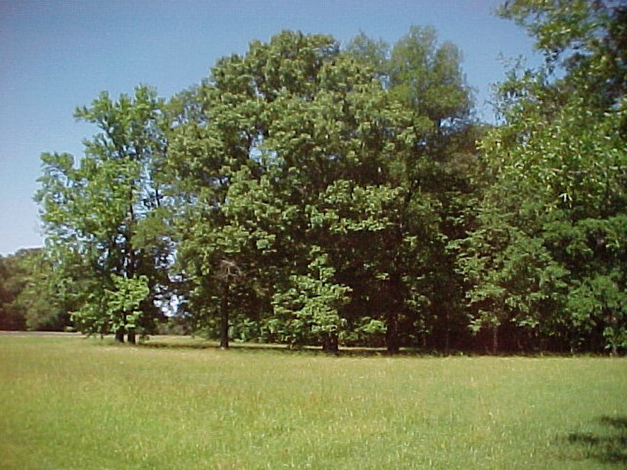 Choctaw Boundary. |
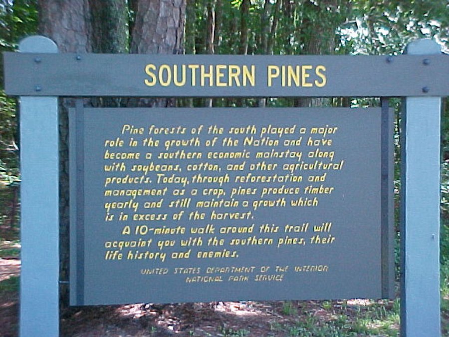 A nice walk, no mosquitoes here |
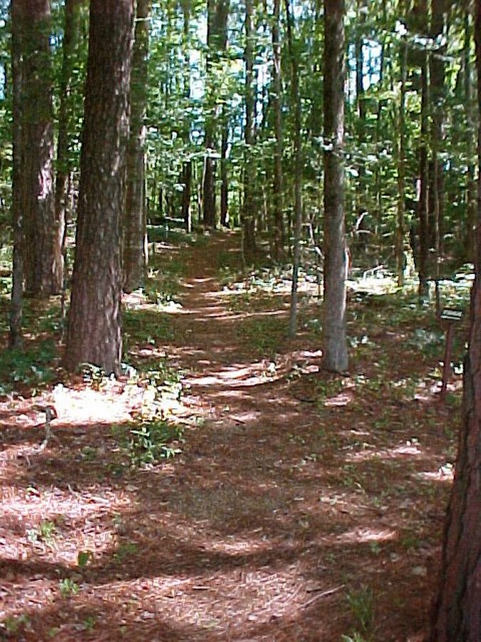 Our 20 minute walk on the southern pine trail. |
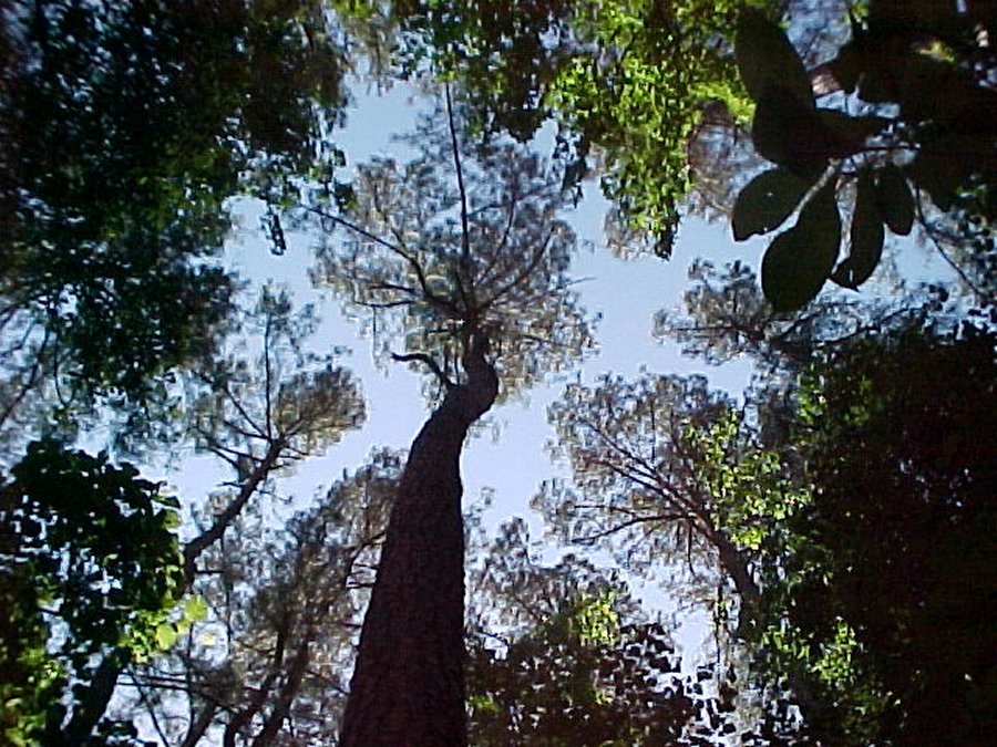 This pine tree is approximately 90 years old (1975), is 19 inches in diameter and 80 feet tall. It would produce enough paper to print 350 books of 550 pages. |
Robinson Road was built in 1821. Designation of the Robinson Road as the mail route in 1822, drew much of the traffic from the northern Mississippi section of the Natchez Trace. No longer was the Trace the only direct road through the wilderness from the east to the old southwest. |
||
 Robinson Road information exhibit. |
 In the 1820's Robinson Road crossed here. |
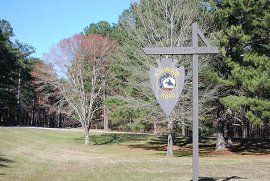 Robinson Road Milepost marker 136. |
About 5 miles north of here on September 7,1830, the Choctaw
Indians signed their last treaty with the United States,yielding most of their remaining tribal lands in Mississippi
to white settlement. |
||
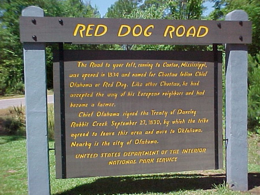 Red dog (Indian chief) road. |
 The road was closed for repair. |
 Red Dog Road. |
Self-guiding trail. Allow 15 minutes to walk in area that identifies plants found in different soil conditions. The trail descends to the vegetation that thrives in the wet bottomland along Hurricane Creek. The path winds upward among plants growing in soil of medium dampness and on to the top of a dry hill before returning. |
||
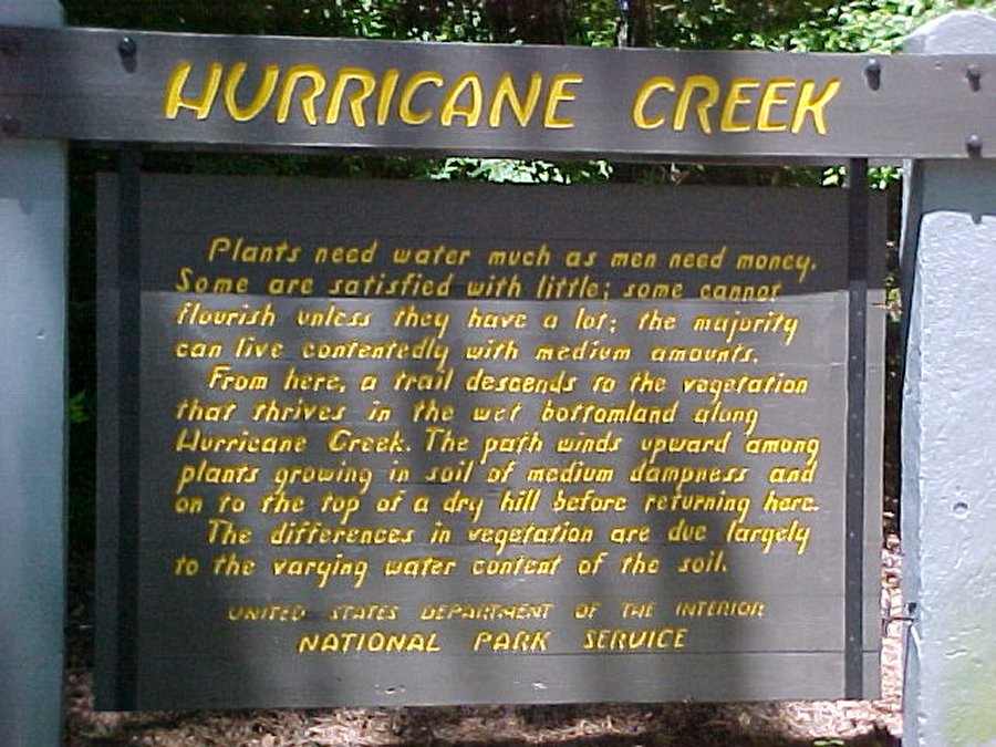 Hurricane Creek exhibit sign. |
 We hiked the trail along Hurricane Creek. |
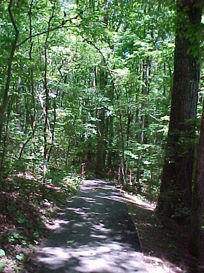 The trail goes up from the creek and tells what kind of trees grow in different elevations. |
A French trader set up shop on the Natchez Trace to do business
with the Choctaw Nation and also anyone traveling the old Trace. From the "Frenchman's Camp" has grown the
town of French Camp. Most of the town is now a Christian boarding school.
|
||
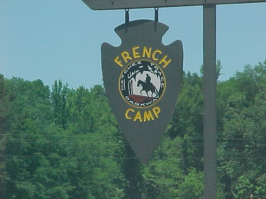 Sign for French Camp. We ate lunch here served by a waitress from the boarding school. |
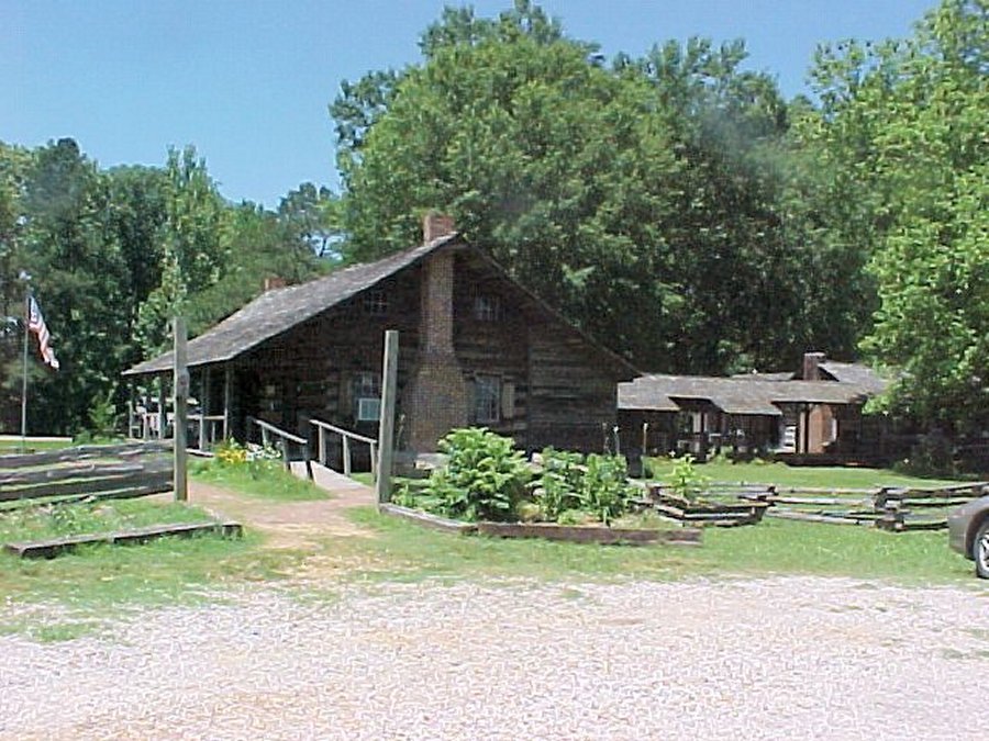 French Camp information center, cafe and 19th century style farm house. |
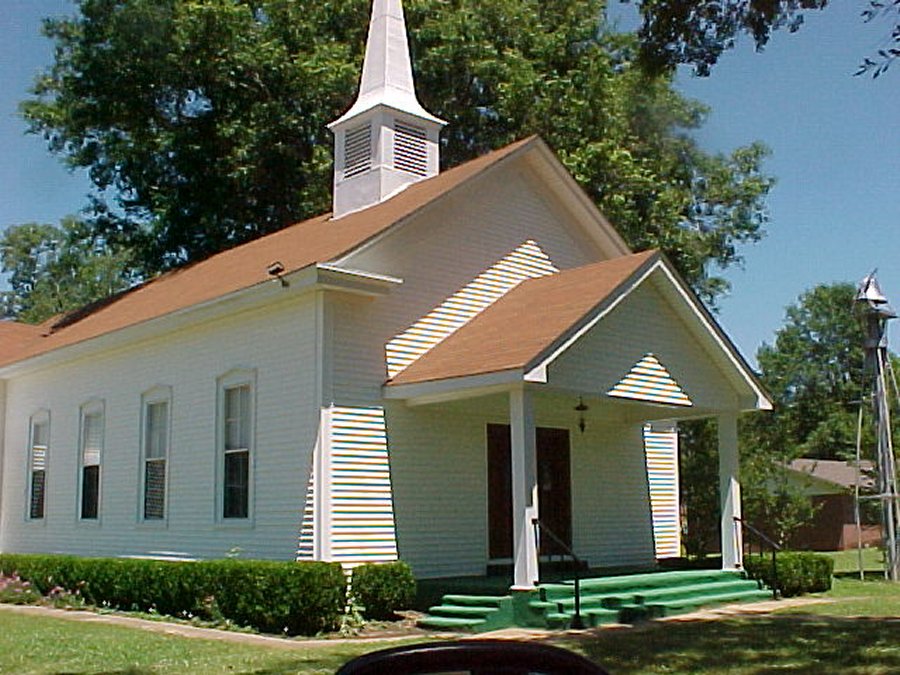 The French Camp church. |
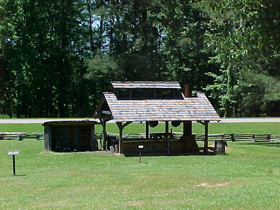 This is the Sorghum mill is used ever fall to make molasses from cane. |
 David is heading toward the cafe.There is a cute blond with the cutest southern accent. |
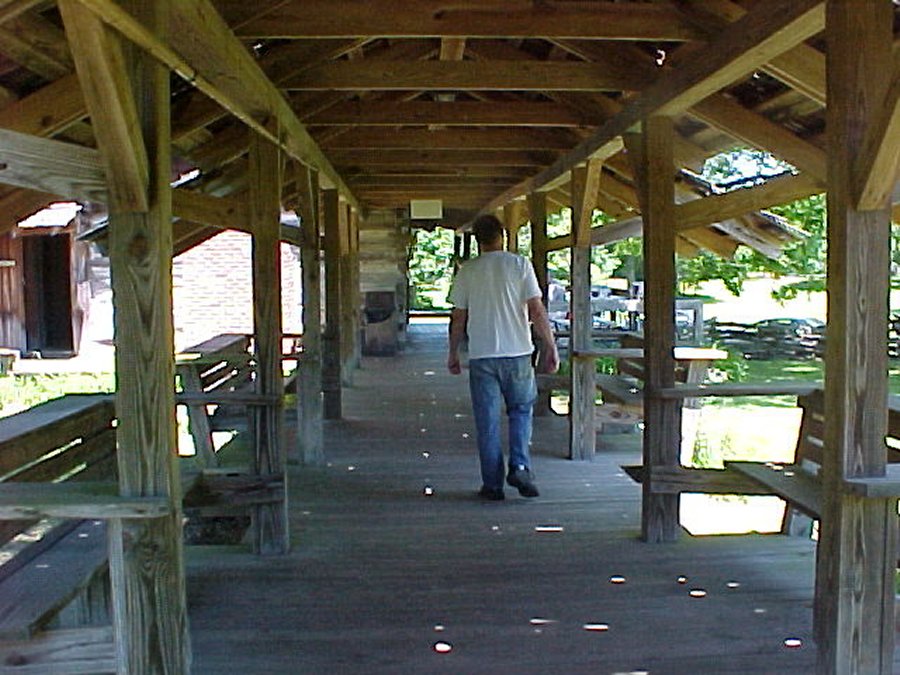
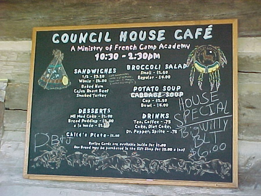 This was the French Camp council house, now a cafe. We ate lunch here, Sandwiches are big and great. |
 Col. James Drane's house at French Camp. |
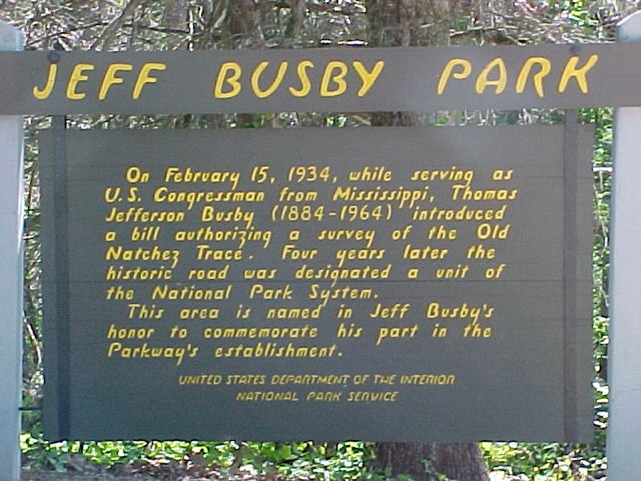 We stopped at Jeff Busby park and stayed two nights. The campground here is free. |
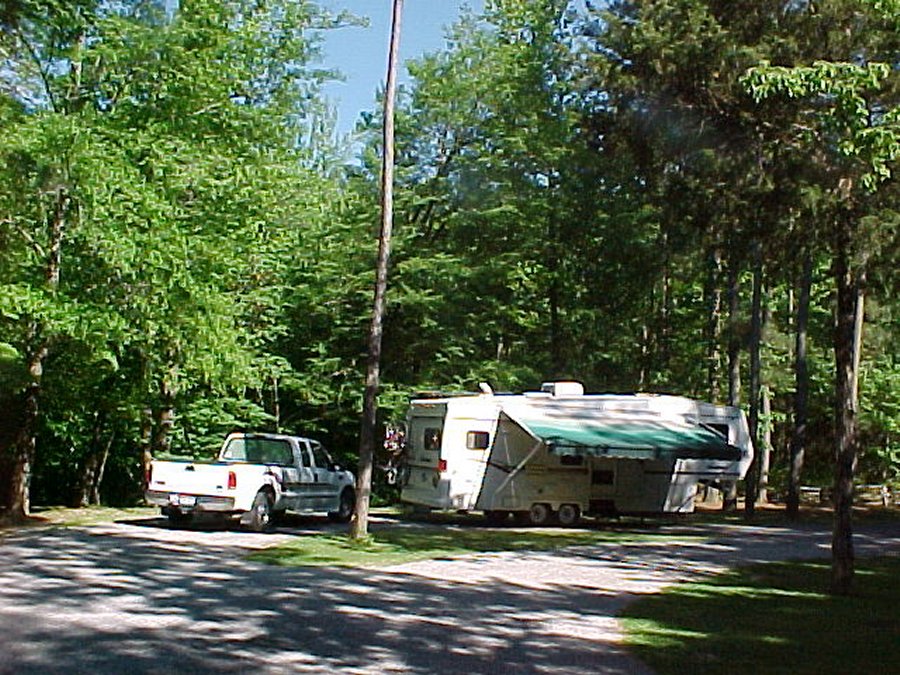 Our camp site at Jeff Busby Campground. |