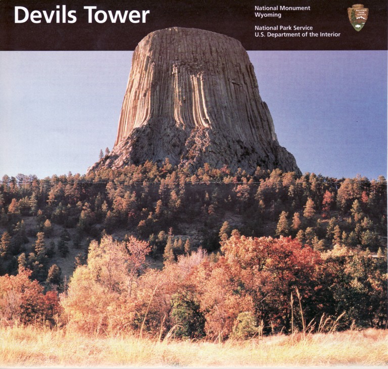
Devils Tower National Monument
June 2009
 Read about the Indian legend of Devils Tower. |
![]()
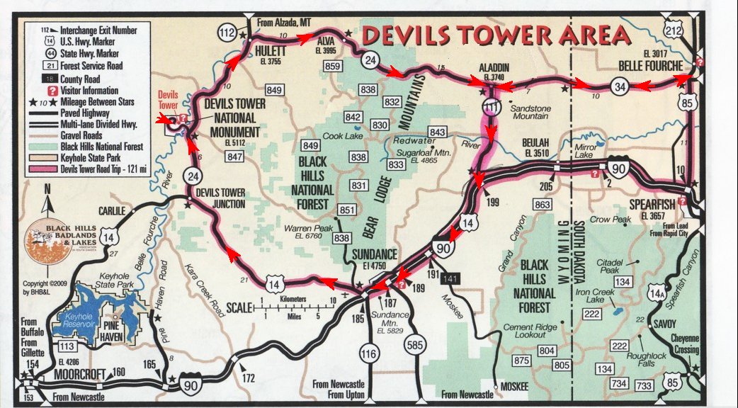
In our travels over the past years we have passed Devils Tower twice without stopping. I had seen pictures of it and it just looked like a big rock sticking out of the top of a knoll. After leaving the badlands in SD I wanted to stop and do some gold panning in the Black Hills area. Last time we were here there was a creek just below a gold mine where we could do some panning. Problem then was it was our first try at panning and the pans were new and we didnt know the pans needed to be broken in. So mostly at that time all we found were garnets. There are usually but not always garnets where there is gold. And now since we are gold panning experts (ha ha) I thought we might could find some. After searching on line and calling the RV parks in the area we found they were all $40.00 a night and up and the only place I found to gold pan were two gold mine tours. Where they charge for the tour and give you a small bag of concentrates to pan out that if you got all the flacks was worth fifty cents . YUCK! What happened to There is a creek out such and such road, go try your luck at gold panning. Anyway we passed up Rapid City and stopped at an RV park in Sundance, WY. This is where the Sundance Kid got his name. We took the scenic route going the short 26 mile trip to Devils Tower and the long way back stopping at the geological center on the Nation in Belle Fourche, SD. Then back to Mountain View RV Park. An all day fun trip..
![]()
To view any picture on a larger scale just click on it.
Then click your browsers back button to return.
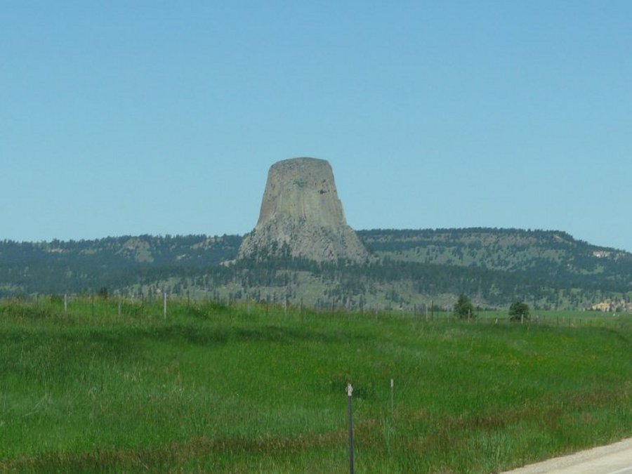
 Driving along Hwy. 14 toward the Devils Tower Junction. |
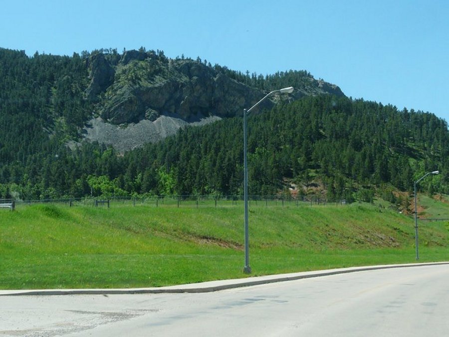
 We stop at A viewpoint for a history lesion. |
 You can see the tower from here. |
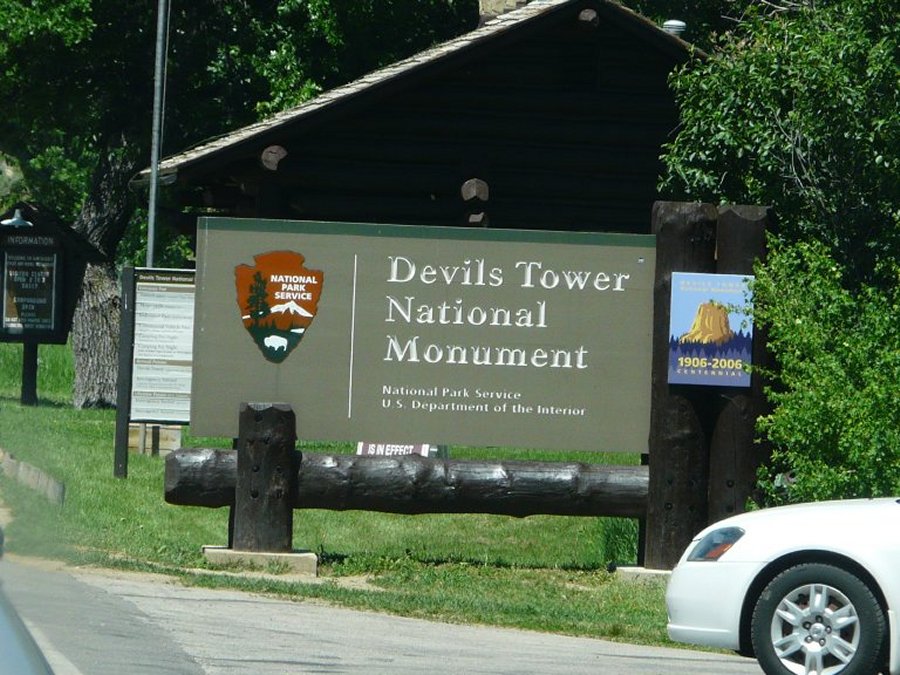 Entrance sign. |
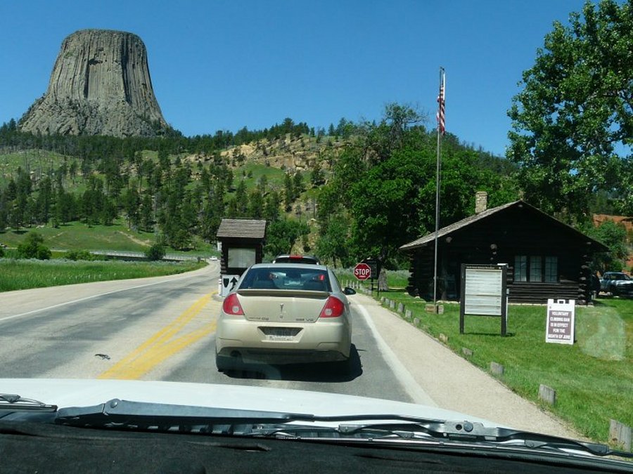 There is a line to get in. Ten bucks if you don't have a senior pass. |
 It's a three mile drive to the tower. |
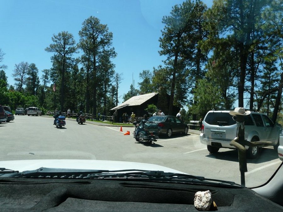 Motorcycles left so we got a close up parking space. |
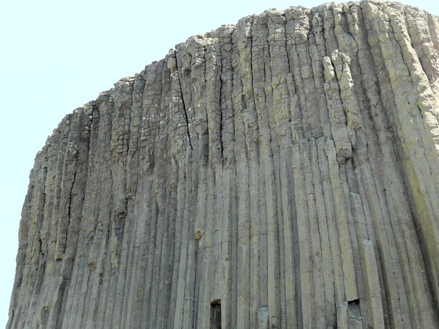
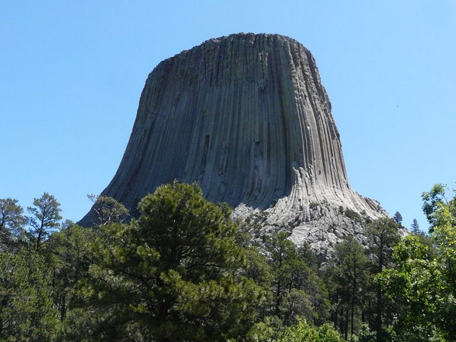 Devils Tower rises 1267 feet above the Belle Fourche River and 820 feet above the visitor center. |
 The turkey buzzards roost and nest up here. |
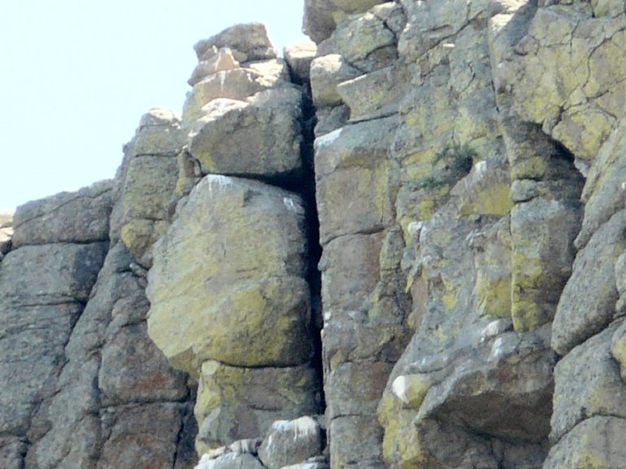
 The ranger said the white spots are turkey buzzard poop. |
 I zoom up on the turkey buzzard poop. |
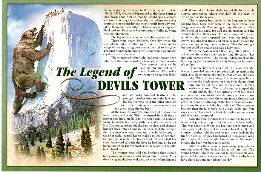
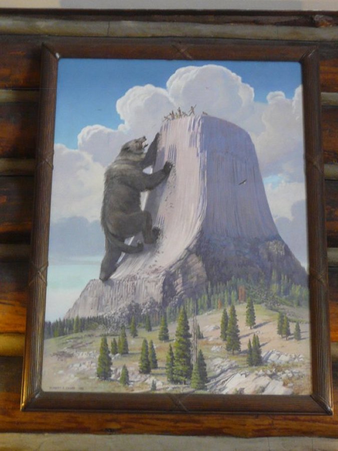 a picture of one of the Indian legends inside the visitor center. |
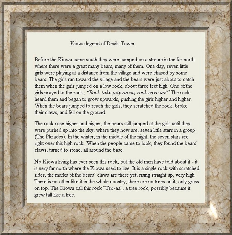 The legend that goes with the previous picture. |
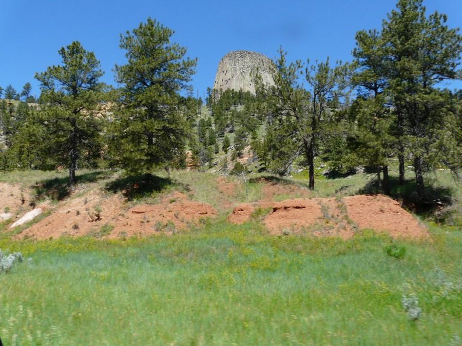
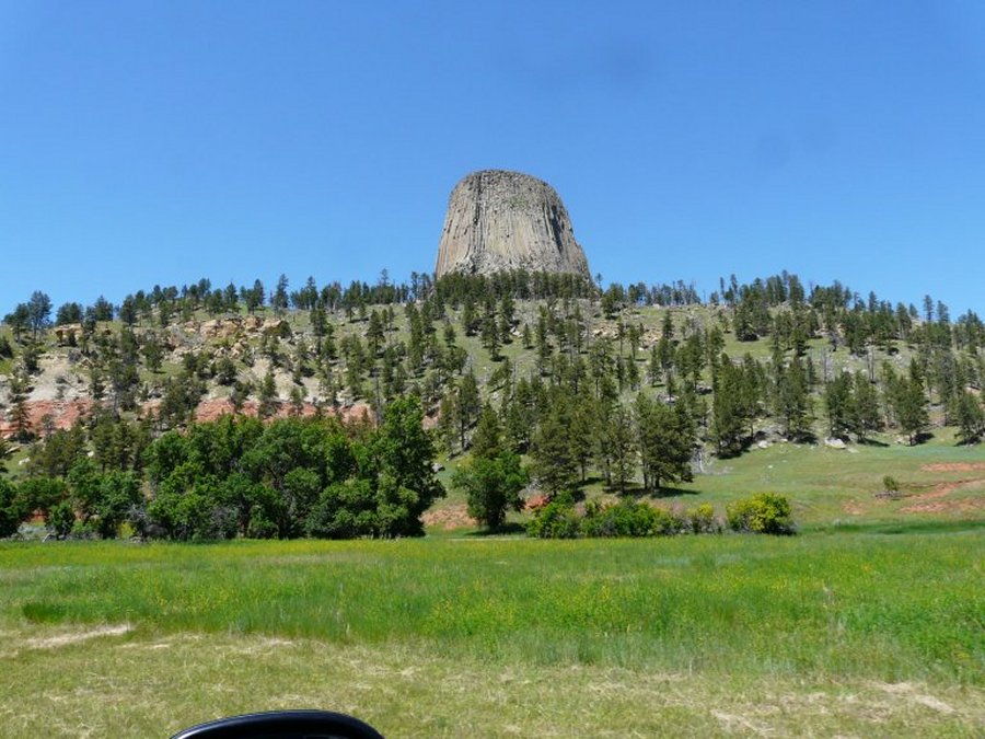 The tower from different angles. |
 Behind the red cliffs. |
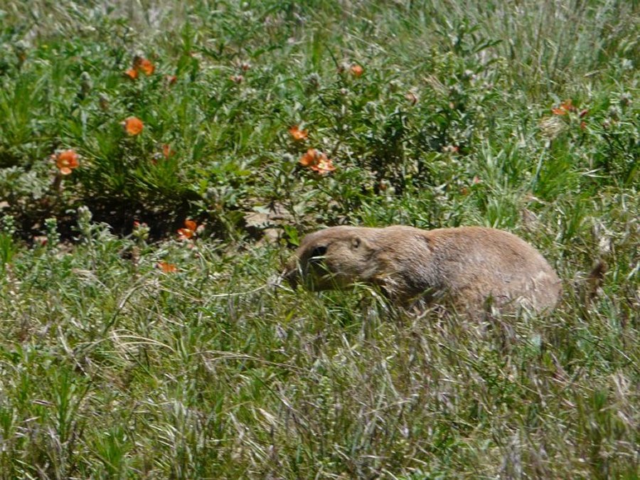 These are black tipped prairie dogs. |
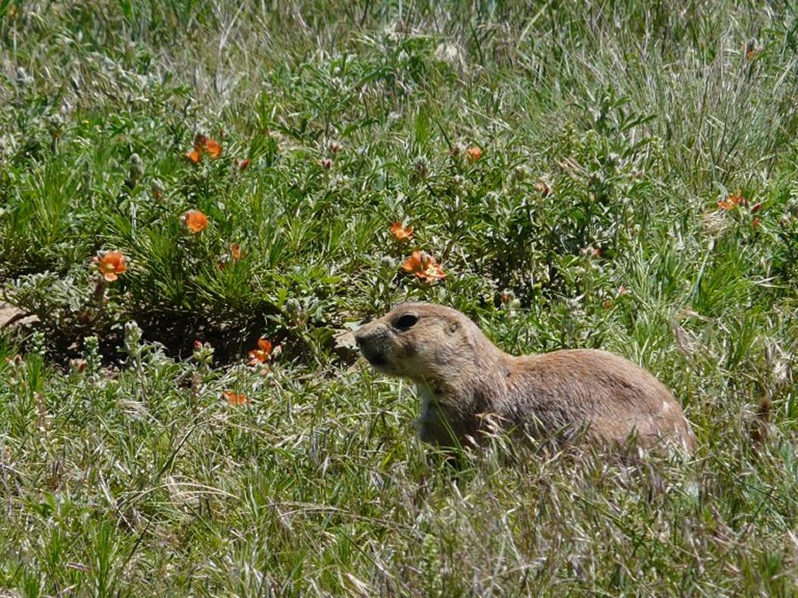 They are to fun to watch. |
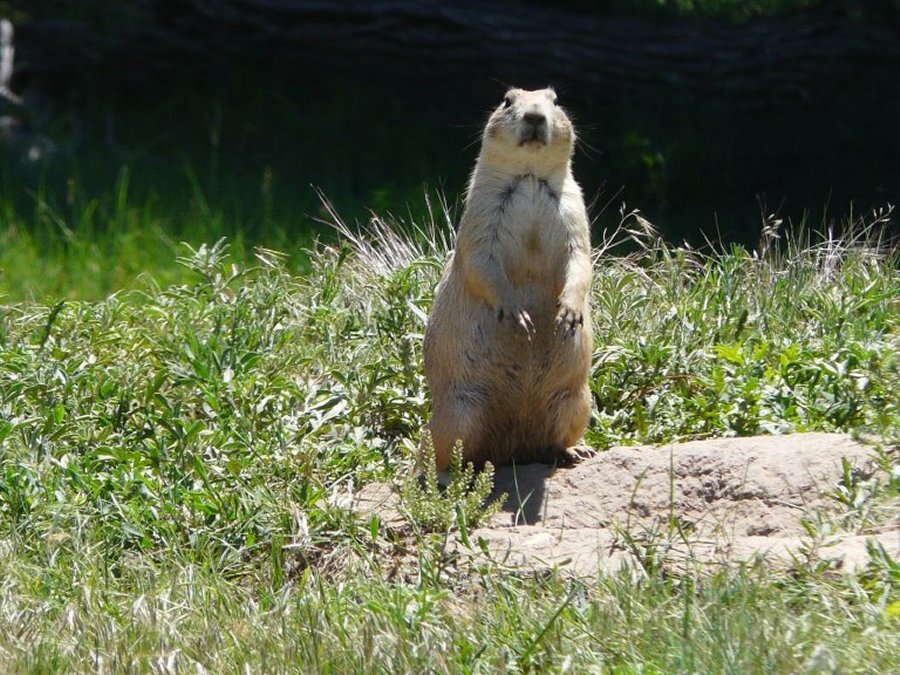 Let me pose for you. |
 We head back on Hwy. 24 through Hulett. |
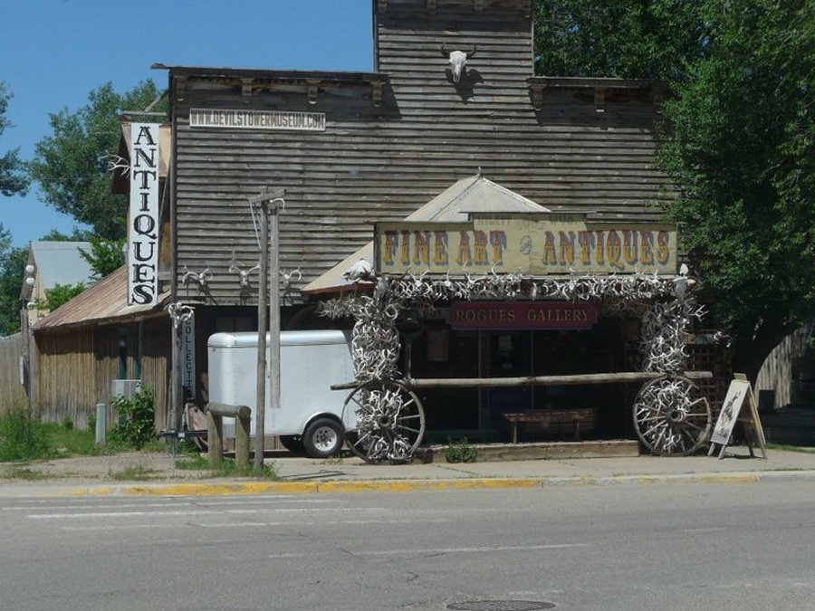 I think antlers are some sort of macho sign around here. |
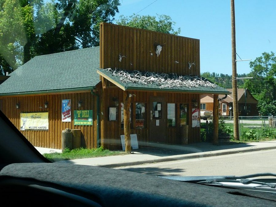 This is the deli. |
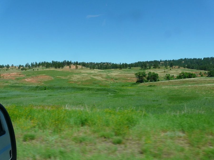
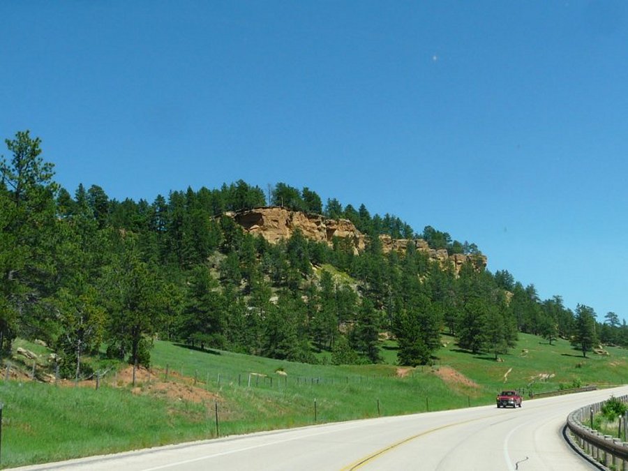
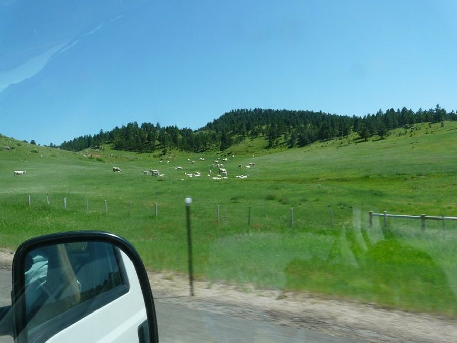
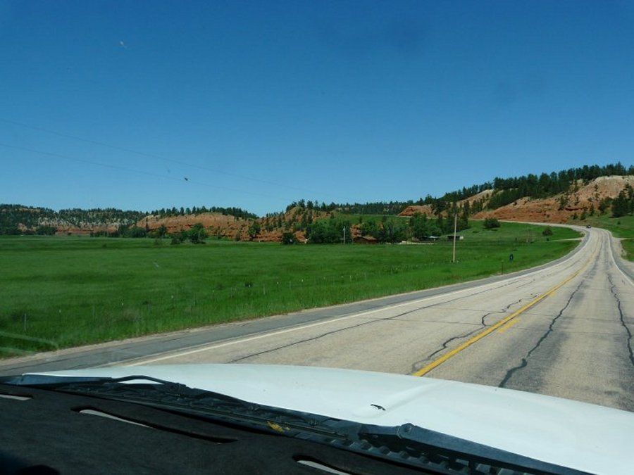 Beautiful country with little traffic. |
 |
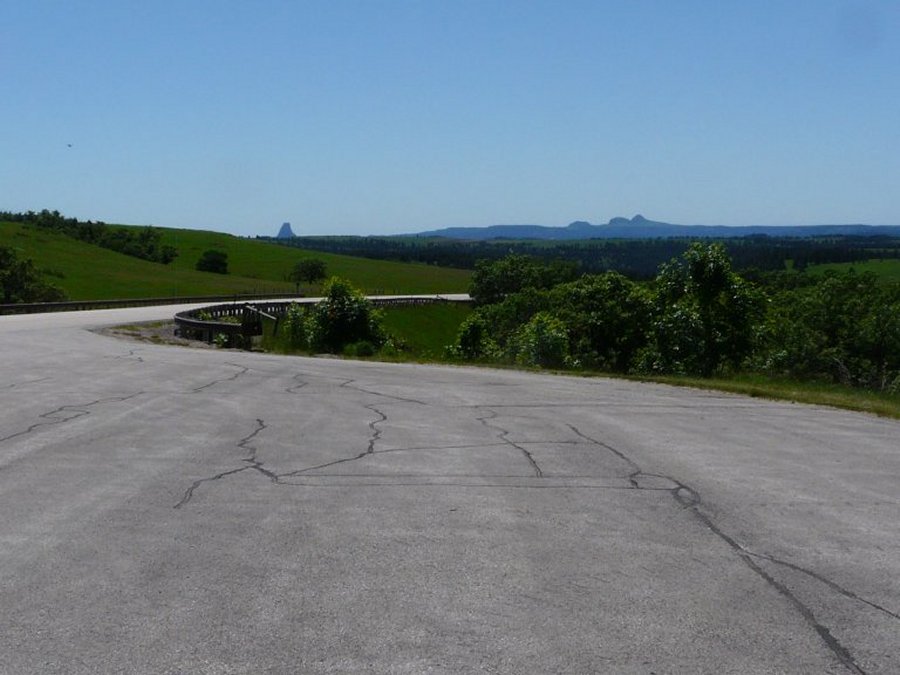 We can still see the tower from way down the road. |
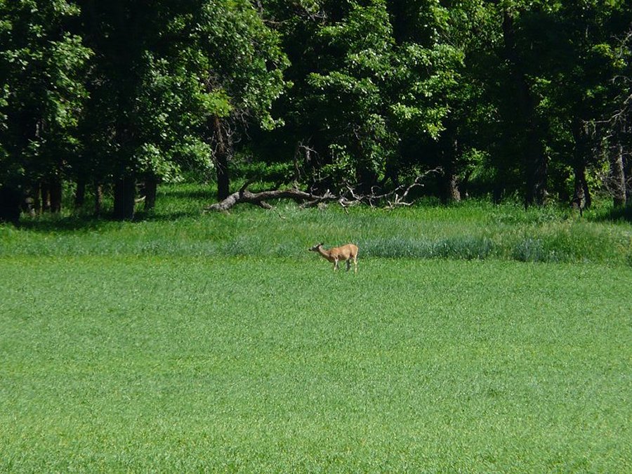 We see several deer but only one poses. |
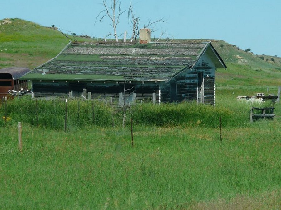 A few abandon homes along this route. |
 Nancy liked this little rock house. |
 We cross back into South Dakota. |
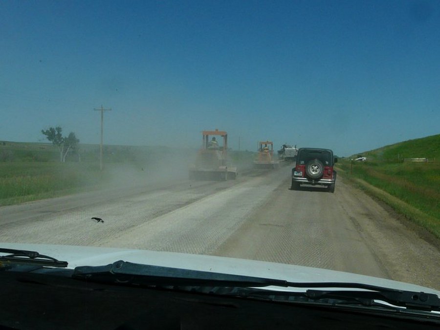 Construction in SD we wait here about 10 minutes for the pilot car. |
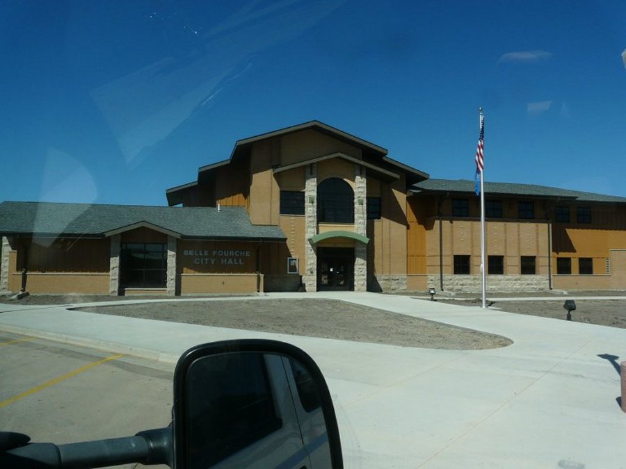
 Belle Fourche, SD. |
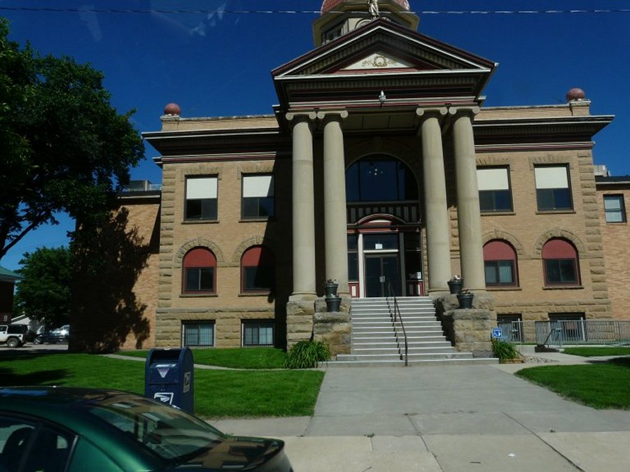 Looks like the court house. |
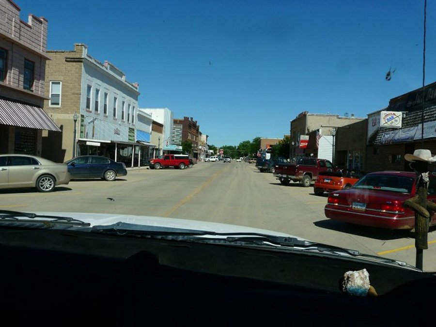 Downtown Belle Fourche. |
 After stopping for ice cream at DQ we find the chamber of Commerce. |
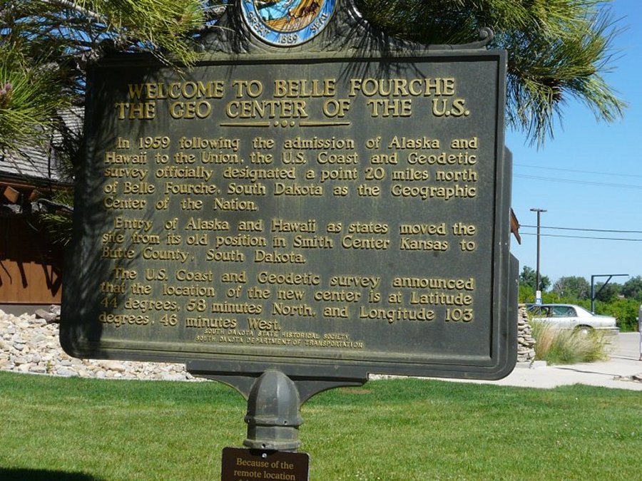 History of the geographic center of the Nation. |
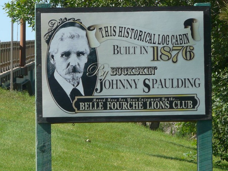 Buckskin Johnny Spaulding. |
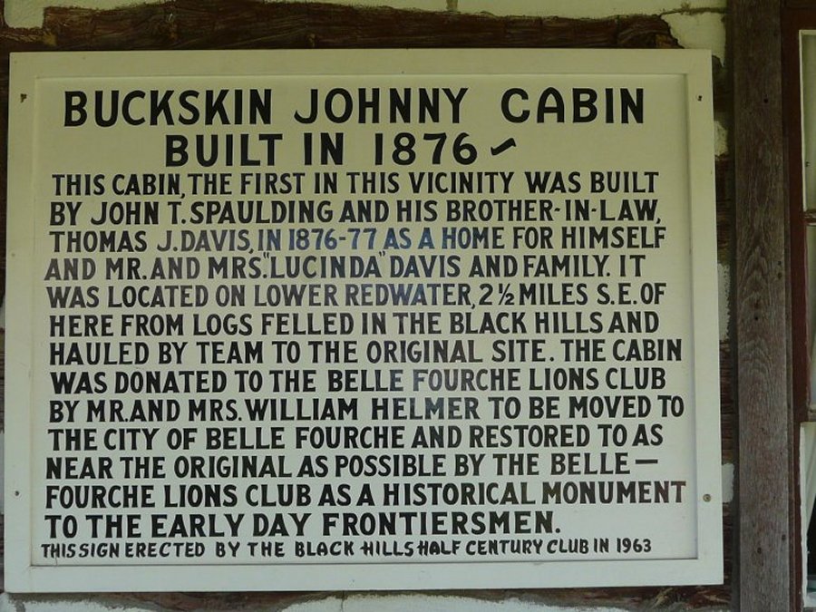 Buckskin Johnny history. |
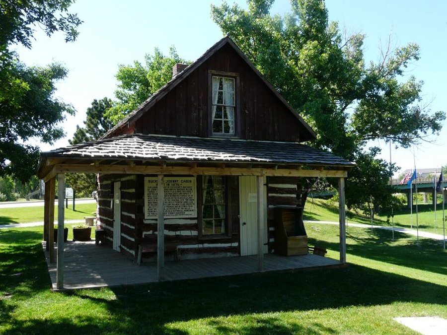 Buckskin Johnny house. |
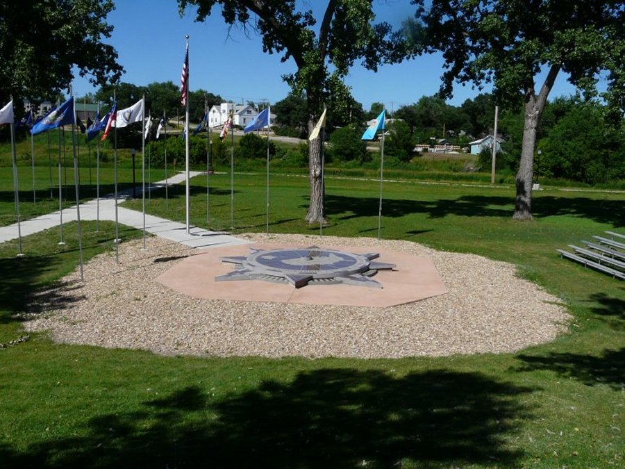 The actual geographic center of the Nation is 20 miles north but there is no town there. |
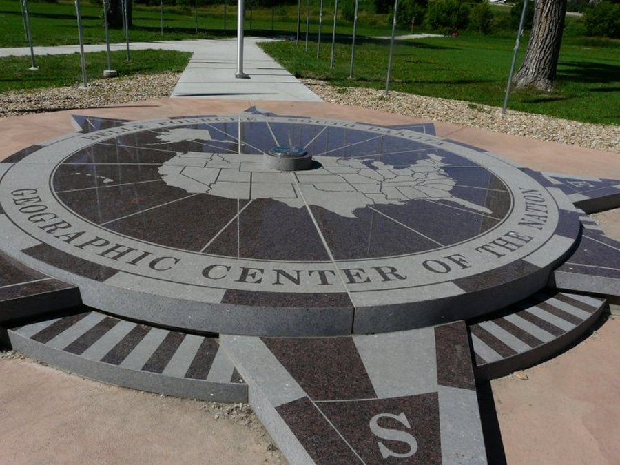 The geographic center of the 52 states. |